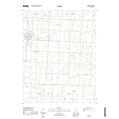
2017 Map of Holden
USGS Topo · Published 2017About this map
Holden serves as the primary municipal center in this western Johnson County landscape, characterized by a grid of rural roads and numerous small family cemeteries. The town's street plan is clearly delineated, featuring named thoroughfares like Chestnut St and E Elizabeth St. Beyond the town limits, the geography is defined by a dense network of watercourses including Bear Cr, Pin Oak Cr, and Brush Cr, which cut through the agricultural sections.
Find a feature on this map
62 named features on this map. Tap any name to fly to it.
Don’t see what you’re looking for? This feature index may not catch every label — zoom into the map to look around manually.
Map Details
Editions of this 2017 Holden Map
This is the sole edition of this map. No revisions or reprints were ever made.
Other maps of this area

1885 · Warrensburg
USGS Topo · 1:125,000

1887 · Harrisonville
USGS Topo · 1:125,000

1887 · Warrensburg
USGS Topo · 1:125,000

1892 · Harrisonville
USGS Topo · 1:125,000

1894 · Harrisonville
USGS Topo · 1:125,000

1894 · Warrensburg
USGS Topo · 1:125,000

1947 · Jefferson City
USGS Topo · 1:250,000

1947 · Lawrence
USGS Topo · 1:250,000

1950 · Lawrence
USGS Topo · 1:250,000

1954 · Jefferson City
USGS Topo · 1:250,000