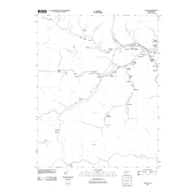
2010 Map of Holden
USGS Topo · Published 2010About this map
Island Creek and its many winding tributaries define the complex valley landscape of this Logan County coal country. This area is characterized by dense clusters of company towns and residential additions, including Black Bottom, Troy Town, and Deskin Addition, which follow the narrow floors of valleys like Mud Fork and Whitman Creek. The infrastructure of the local economy is evident through features such as the Mud Fork Refuse Dam and the network of rail and road junctions like Whitman Junction and Trace Junction.
Find a feature on this map
107 named features on this map. Tap any name to fly to it.
Don’t see what you’re looking for? This feature index may not catch every label — zoom into the map to look around manually.
Map Details
Editions of this 2010 Holden Map
This is the sole edition of this map. No revisions or reprints were ever made.
Other maps of this area

1887 · Warfield
USGS Topo · 1:125,000

1891 · Oceana
USGS Topo · 1:125,000

1891 · Warfield
USGS Topo · 1:125,000

1893 · Oceana
USGS Topo · 1:125,000

1898 · Oceana
USGS Topo · 1:125,000

1909 · Matewan
USGS Topo · 1:48,000

1909 · Gilbert
USGS Topo · 1:48,000

1910 · Holden
USGS Topo · 1:48,000

1912 · Gilbert
USGS Topo · 1:62,500

1912 · Holden
USGS Topo · 1:62,500