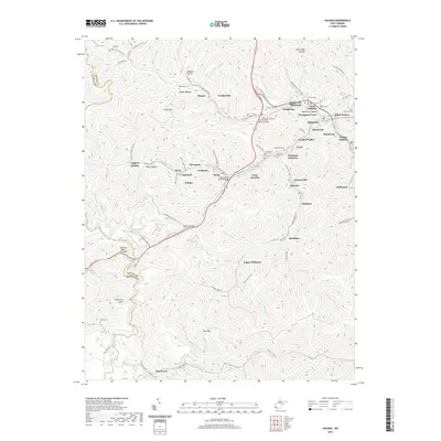
2019 Map of Holden
USGS Topo · Published 2019About this map
Holden and the surrounding coal-country settlements of Logan County are etched into a landscape of narrow hollows and high ridges. The community of Whitman and its extensions, Upper Whitman and Whitman Junction, follow the winding path of Whitman Creek, reflecting the traditional ribbon-settlement pattern common to the West Virginia coalfields. The map documents several memorials to local service members, including the Staff SGT Frankie Melnar Bridge and the Sergeant Ted Belcher Bridge, which serve as modern landmarks along the transit corridors.
Find a feature on this map
108 named features on this map. Tap any name to fly to it.
Don’t see what you’re looking for? This feature index may not catch every label — zoom into the map to look around manually.
Map Details
Editions of this 2019 Holden Map
This is the sole edition of this map. No revisions or reprints were ever made.
Other maps of this area

1887 · Warfield
USGS Topo · 1:125,000

1891 · Oceana
USGS Topo · 1:125,000

1891 · Warfield
USGS Topo · 1:125,000

1893 · Oceana
USGS Topo · 1:125,000

1898 · Oceana
USGS Topo · 1:125,000

1909 · Matewan
USGS Topo · 1:48,000

1909 · Gilbert
USGS Topo · 1:48,000

1910 · Holden
USGS Topo · 1:48,000

1912 · Gilbert
USGS Topo · 1:62,500

1912 · Holden
USGS Topo · 1:62,500