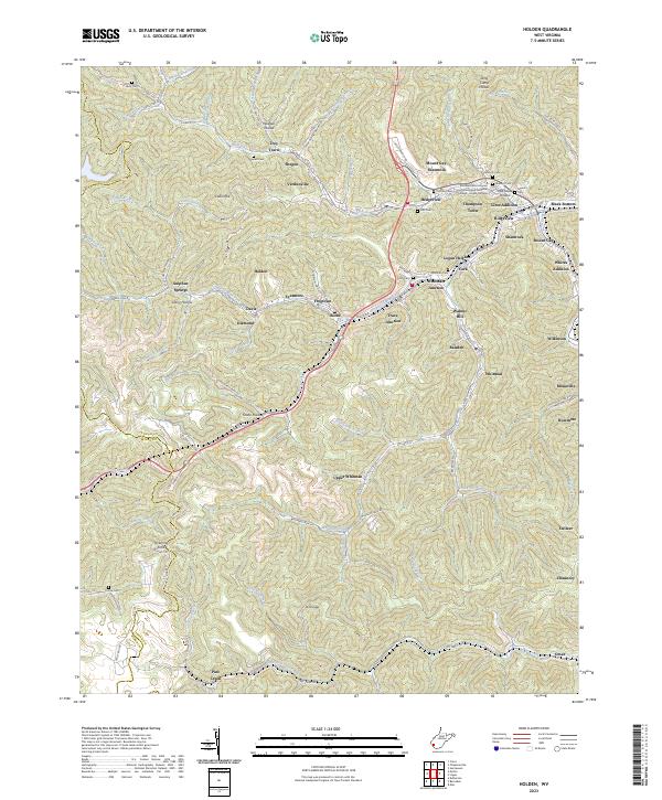
2023 Map of Holden
USGS Topo · Published 2023About this map
Holden and the surrounding coal-country communities of Logan County appear in high detail on this 2023 survey. The landscape is defined by its narrow valleys and residential ribbons like Mount Gay-Shamrock and Whitman Junction, where housing and industry follow the winding paths of Island Creek and Copperas Mine Fork. This contemporary look at the region shows the persistence of small settlements such as Verdunville, Shegon, and Black Bottom, alongside modern developments like the Southern West Virginia Community and Technical College - Logan Campus. Genealogists will find numerous family-named burial grounds throughout the hollows, including Ferrell Cem, Baisden Cem, and Ooten Cem. The map illustrates the complex transportation network necessary for the area, from the primary corridor of US Rte 119 to industrial access points like Islandcreek Mine Rd.
Find a feature on this map
115 named features on this map. Tap any name to fly to it.
Don’t see what you’re looking for? This feature index may not catch every label — zoom into the map to look around manually.
Map Details
Editions of this 2023 Holden Map
This is the sole edition of this map. No revisions or reprints were ever made.
Historical Maps of Verdunville Through Time
7 maps found