2024 Map of Hollis Crossroads
USGS Topo · Published 2024About this map
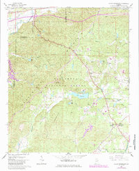
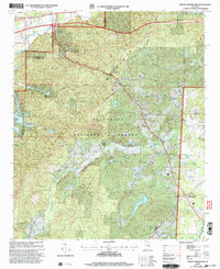
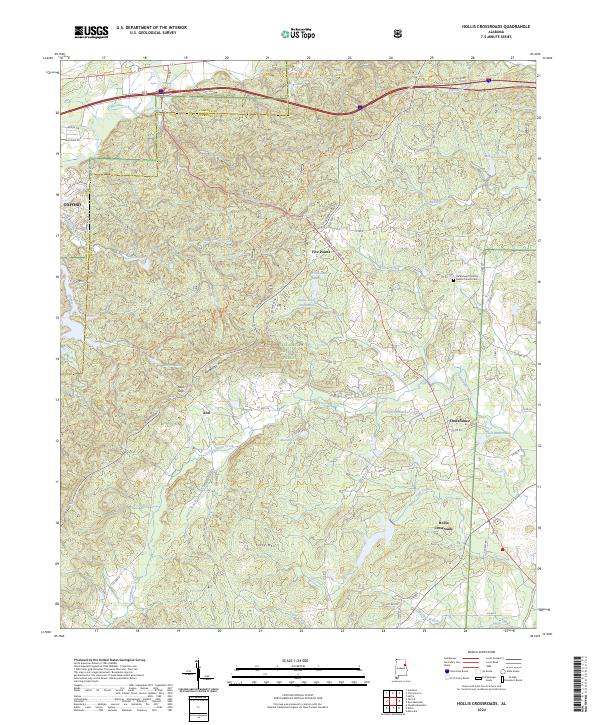
Talladega National Forest encompasses much of this landscape along the border of Calhoun and Cleburne counties, where the ridges of Horseblock Mountain and Ivory Mtn rise above the Piedmont terrain. This 2024 survey captures the rural character of communities like Hollis Crossroads and Chulafinnee, highlighting a distribution of historic churches and remote water bodies. The presence of Gold-Mine Lakes and the Bethlehem Primitive Baptist Church near Five Points provides specific points of interest for genealogists tracing local families in the Abel vicinity. The drainage patterns of Chulafinnee Creek and Nixon Branch define the local topography, while the Skyway Mtwy winds through Abel Gap, tracing a route through the forested highland that has likely served as a primary transit corridor for generations.
Find a feature on this map
67 named features on this map. Tap any name to fly to it.
Don’t see what you’re looking for? This feature index may not catch every label — zoom into the map to look around manually.
Map Details
Editions of this 2024 Hollis Crossroads Map
This is the sole edition of this map. No revisions or reprints were ever made.
Historical Maps of Calhoun County Through Time
4 maps found