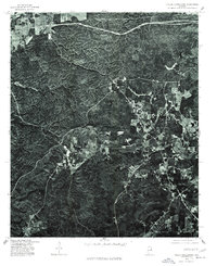
1975 Map of Hollis Crossroads
USGS Topo · Published 1977About this map
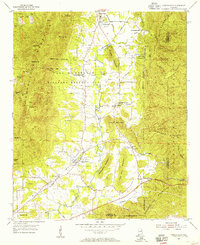
Hollis Crossroads and the surrounding Cleburne County landscape are captured here through high-altitude aerial photography. This orthophotograph, produced by the Geological Survey in cooperation with the Soil Conservation Service, provides a detailed look at land use patterns in the mid-1970s. The settlement of Five Points sits at a junction of local roads, while Lake Edmond serves as a prominent water feature amid the heavily wooded terrain. Because this is an orthophotograph rather than a traditional line map, researchers can observe the literal texture of the forest and the precise boundaries of agricultural clearings. The presence of a significant Creek and a network of rural roads reveals the established transportation routes and natural drainage that shaped this part of Alabama prior to later development.
Find a feature on this map
4 named features on this map. Tap any name to fly to it.
Don’t see what you’re looking for? This feature index may not catch every label — zoom into the map to look around manually.
Map Details
Editions of this 1975 Hollis Crossroads Map
This is the sole edition of this map. No revisions or reprints were ever made.
Other maps of this area
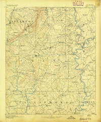
1891 · Ashland
USGS Topo · 1:125,000

1900 · Anniston
USGS Topo · 1:125,000
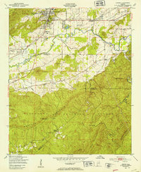
1947 · Oxford
USGS Topo · 1:24,000
1947 · Anniston
USGS Topo · 1:24,000
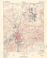
1950 · Anniston
USGS Topo · 1:62,500

1953 · Atlanta
USGS Topo · 1:250,000
1954 · Choccolocco
USGS Topo · 1:24,000
1956 · Oxford
USGS Topo · 1:24,000
1956 · Anniston
USGS Topo · 1:24,000

1957 · Atlanta
USGS Topo · 1:250,000