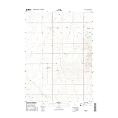
2017 Map of Hollister
USGS Topo · Published 2017About this map
The high desert landscape of Twin Falls County is defined here by the intricate irrigation infrastructure of the Main Canal, Lateral Number 15, and Lateral Number 21. These engineered watercourses serve the small rural communities of Hollister and Amsterdam, which are connected by a grid of agricultural roads like N Western Ave and E 2100 N. To the east, the terrain shifts abruptly as it climbs toward Squaw Joe Canyon, where natural hydrology remains in the form of Nat-Soo-Pah-Warm Spring and Goal Springs Cr. The presence of the Deep Cr Reservoir in the southwest corner highlights the critical role of water storage for this arid region, providing a clear picture of how early twenty-first-century Idaho settlements and ranching operations are sustained by a combination of natural springs and extensive human-made diversions.
Find a feature on this map
36 named features on this map. Tap any name to fly to it.
Don’t see what you’re looking for? This feature index may not catch every label — zoom into the map to look around manually.
Map Details
Editions of this 2017 Hollister Map
This is the sole edition of this map. No revisions or reprints were ever made.
Other maps of this area

1955 · Twin Falls
USGS Topo · 1:250,000

1958 · Twin Falls
USGS Topo · 1:250,000

1965 · Hollister SW
USGS Topo · 1:24,000

1965 · Hollister
USGS Topo · 1:24,000

1965 · Berger
USGS Topo · 1:24,000

1965 · Berger Butte
USGS Topo · 1:24,000

1965 · Hub Butte
USGS Topo · 1:24,000

1965 · Mc Mullen Basin
USGS Topo · 1:24,000

1977 · Rogerson
USGS Topo · 1:24,000

1977 · Salmon Butte
USGS Topo · 1:24,000