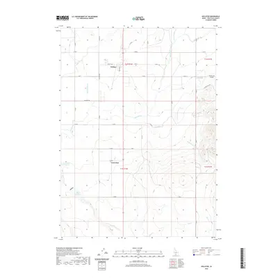
2020 Map of Hollister
USGS Topo · Published 2020About this map
The small agricultural community of Hollister anchors this Idaho landscape, where a sophisticated network of irrigation channels like the Main Canal, Lateral Number 15, and A Lateral supports the high desert's productivity. To the south, the settlement of Amsterdam sits near the intersection of the gridded road system, marking a period of expansion in Twin Falls County. The geography is defined by its water management, including the Deep Cr Reservoir and Lower Deep Cr Reservoir, which capture the flow of Deep Cr.
Find a feature on this map
42 named features on this map. Tap any name to fly to it.
Don’t see what you’re looking for? This feature index may not catch every label — zoom into the map to look around manually.
Map Details
Editions of this 2020 Hollister Map
This is the sole edition of this map. No revisions or reprints were ever made.
Other maps of this area

1955 · Twin Falls
USGS Topo · 1:250,000

1958 · Twin Falls
USGS Topo · 1:250,000

1965 · Hollister SW
USGS Topo · 1:24,000

1965 · Hollister
USGS Topo · 1:24,000

1965 · Berger
USGS Topo · 1:24,000

1965 · Berger Butte
USGS Topo · 1:24,000

1965 · Hub Butte
USGS Topo · 1:24,000

1965 · Mc Mullen Basin
USGS Topo · 1:24,000

1977 · Rogerson
USGS Topo · 1:24,000

1977 · Salmon Butte
USGS Topo · 1:24,000