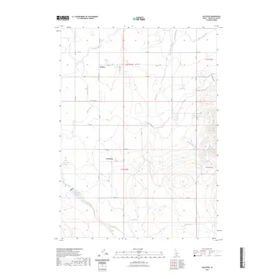
2023 Map of Hollister
USGS Topo · Published 2023About this map
Hollister and the small community of Amsterdam anchor this southern Idaho landscape, where the high desert meets an intricate network of irrigation. The dependence on water management is evident through the prominence of the Main Canal and various numbered laterals, including Lateral Number 15 and Lateral Number 21, which snake across the grid of roads like Oakley Ave and Main St. To the east, the terrain transitions into the draws and ridges of the Salmon Falls Creek drainage, featuring Goat Springs Creek and the curiously named Hula Hunu'u. Unique local landmarks like Nat-Soo-Pah Warm Spring and the Lower Deep Creek Reservoir provide clear focal points for those researching the hydrologic and recreational history of Twin Falls County. The map provides an exact record of property divisions and the intersection of natural watercourses like Deep Creek with the engineered landscape.
Find a feature on this map
34 named features on this map. Tap any name to fly to it.
Don’t see what you’re looking for? This feature index may not catch every label — zoom into the map to look around manually.
Map Details
Editions of this 2023 Hollister Map
This is the sole edition of this map. No revisions or reprints were ever made.
Other maps of this area

1955 · Twin Falls
USGS Topo · 1:250,000

1958 · Twin Falls
USGS Topo · 1:250,000

1965 · Hollister SW
USGS Topo · 1:24,000

1965 · Hollister
USGS Topo · 1:24,000

1965 · Berger
USGS Topo · 1:24,000

1965 · Berger Butte
USGS Topo · 1:24,000

1965 · Hub Butte
USGS Topo · 1:24,000

1965 · Mc Mullen Basin
USGS Topo · 1:24,000

1977 · Rogerson
USGS Topo · 1:24,000

1977 · Salmon Butte
USGS Topo · 1:24,000