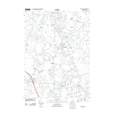
2012 Map of Holliston
USGS Topo · Published 2012About this map
Holliston and Medway anchor this 2012 topographic study of the Upper Charles River valley, revealing a landscape where colonial-era burial grounds and industrial heritage sites persist amidst modern suburban growth. The sheet identifies numerous historically significant cemeteries including the Holliston Center Cem, Indian Cem, and the West Burying Ground near Bare Hill. The industrial past of the region is evidenced by features like the Leland Millpond and the rail-oriented legacy of Braggville Station, while the north is defined by the Ashland Reservoir and the Workmans Circle Camp. Between the major town centers, the map traces the intricate drainage of Bogastow Brook, Chicken Brook, and Hopping Brook, showing how these waterways influenced the development of small communities like Metcalf and Caryville. This survey provides a precise modern look at the preservation of open spaces like Arcadian Farms alongside 21st-century residential patterns.
Find a feature on this map
301 named features on this map. Tap any name to fly to it.
Don’t see what you’re looking for? This feature index may not catch every label — zoom into the map to look around manually.
Map Details
Editions of this 2012 Holliston Map
This is the sole edition of this map. No revisions or reprints were ever made.
Other maps of this area

1886 · Blackstone
USGS Topo · 1:62,500

1886 · Framingham
USGS Topo · 1:62,500

1887 · Franklin
USGS Topo · 1:62,500

1887 · Marlboro
USGS Topo · 1:62,500

1889 · Marlboro
USGS Topo · 1:62,500

1889 · Blackstone
USGS Topo · 1:62,500

1889 · Franklin
USGS Topo · 1:62,500

1889 · Framingham
USGS Topo · 1:62,500

1893 · Franklin
USGS Topo · 1:62,500

1893 · Blackstone
USGS Topo · 1:62,500