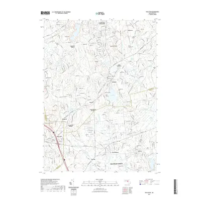
2021 Map of Holliston
USGS Topo · Published 2021About this map
The Charles River winds through the southern landscape of this 2021 survey, anchoring the industrial and residential heritage of Medway and West Medway. To the north, the town of Holliston is defined by a dense network of local landmarks, from the central waters of Lake Winthrop and Factory Pond to the surrounding hills like Mt Hollis and Strawberry Hill. The map meticulously preserves the locations of numerous historic burial sites, including the West Burying Ground, Indian Cem, and several parish cemeteries, offering essential data for genealogical research.
Find a feature on this map
76 named features on this map. Tap any name to fly to it.
Don’t see what you’re looking for? This feature index may not catch every label — zoom into the map to look around manually.
Map Details
Editions of this 2021 Holliston Map
This is the sole edition of this map. No revisions or reprints were ever made.
Other maps of this area

1886 · Blackstone
USGS Topo · 1:62,500

1886 · Framingham
USGS Topo · 1:62,500

1887 · Franklin
USGS Topo · 1:62,500

1887 · Marlboro
USGS Topo · 1:62,500

1889 · Marlboro
USGS Topo · 1:62,500

1889 · Blackstone
USGS Topo · 1:62,500

1889 · Franklin
USGS Topo · 1:62,500

1889 · Framingham
USGS Topo · 1:62,500

1893 · Franklin
USGS Topo · 1:62,500

1893 · Blackstone
USGS Topo · 1:62,500