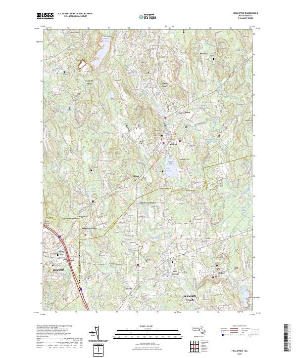
2024 Map of Holliston
USGS Topo · Published 2024About this map
The Charles River winds through this landscape of the Metrowest region, anchoring the settlements of Holliston, Medway, and the industrial edge of Milford. The terrain is defined by a series of glacial hills, including Broad Hill, Bald Hill, and Mt Hollis, which overlook a complex network of wetlands and small water bodies such as Lake Winthrop and Chicken Brook. Local history is deeply etched into the land through numerous colonial-era and community burial sites, including the West Burying Ground, Indian Cem, and Lake Grove Cem. The transition from agrarian roots to suburban development is evident in the clusters of named corners and stations like Gooch Corners and Braggville Station, while the presence of Camp Breezy Meadow and Camp Bob White speaks to the area's mid-century role as a center for summer recreation and open space preservation.
Find a feature on this map
73 named features on this map. Tap any name to fly to it.
Don’t see what you’re looking for? This feature index may not catch every label — zoom into the map to look around manually.
Map Details
Editions of this 2024 Holliston Map
This is the sole edition of this map. No revisions or reprints were ever made.
Other maps of this area

1886 · Blackstone
USGS Topo · 1:62,500

1886 · Framingham
USGS Topo · 1:62,500

1887 · Franklin
USGS Topo · 1:62,500

1887 · Marlboro
USGS Topo · 1:62,500

1889 · Marlboro
USGS Topo · 1:62,500

1889 · Blackstone
USGS Topo · 1:62,500

1889 · Franklin
USGS Topo · 1:62,500

1889 · Framingham
USGS Topo · 1:62,500

1893 · Franklin
USGS Topo · 1:62,500

1893 · Blackstone
USGS Topo · 1:62,500