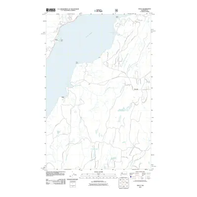
2011 Map of Holly
USGS Topo · Published 2011About this map
Hood Canal dominates this coastal landscape, shaping the western shoreline where Triton and the prominent Triton Head look across the water. Inland, the terrain is defined by the winding course of the Dewatto River and the headwaters of Stavis Creek and Anderson Creek. The 2011 survey reveals a quiet network of small settlements including Holly, Nellita, and Hintzville, often linked by timber-access and local roads such as Seabeck Holly Rd NW.
Find a feature on this map
56 named features on this map. Tap any name to fly to it.
Don’t see what you’re looking for? This feature index may not catch every label — zoom into the map to look around manually.
Map Details
Editions of this 2011 Holly Map
This is the sole edition of this map. No revisions or reprints were ever made.
Other maps of this area

1936 · Point Misery
USGS Topo · 1:62,500

1938 · Mt Constance
USGS Topo · 1:125,000

1938 · Allyn
USGS Topo · 1:62,500

1940 · Point Misery
USGS Topo · 1:62,500

1943 · Potlatch
USGS Topo · 1:62,500

1947 · The Brothers
USGS Topo · 1:62,500

1950 · The Brothers
USGS Topo · 1:62,500

1952 · Potlatch
USGS Topo · 1:62,500

1953 · Seabeck
USGS Topo · 1:24,000
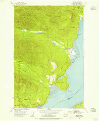
1953 · Brinnon
USGS Topo · 1:24,000