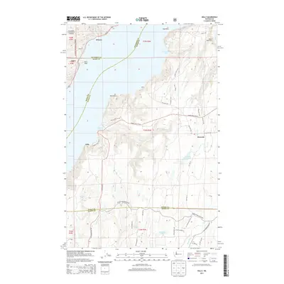
2014 Map of Holly
USGS Topo · Published 2014About this map
Puget Sound and the eastern edge of the Olympic National Forest define the geography of this Hood Canal region, where the steep terrain of the Olympic Peninsula meets the saltwater. Settlement patterns are concentrated along the shoreline and narrow creek valleys, with communities like Brinnon, Triton, and Holly serving as anchors for the local landscape. The map reveals a complex network of forest and county roads, such as Seabeck Holly Rd NW and Lost Hwy W, which navigate the dense drainage basins of the Dewatto River and Tahuya River.
Find a feature on this map
60 named features on this map. Tap any name to fly to it.
Don’t see what you’re looking for? This feature index may not catch every label — zoom into the map to look around manually.
Map Details
Editions of this 2014 Holly Map
This is the sole edition of this map. No revisions or reprints were ever made.
Other maps of this area

1936 · Point Misery
USGS Topo · 1:62,500

1938 · Mt Constance
USGS Topo · 1:125,000

1938 · Allyn
USGS Topo · 1:62,500

1940 · Point Misery
USGS Topo · 1:62,500

1943 · Potlatch
USGS Topo · 1:62,500

1947 · The Brothers
USGS Topo · 1:62,500

1950 · The Brothers
USGS Topo · 1:62,500

1952 · Potlatch
USGS Topo · 1:62,500

1953 · Seabeck
USGS Topo · 1:24,000
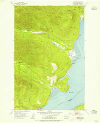
1953 · Brinnon
USGS Topo · 1:24,000