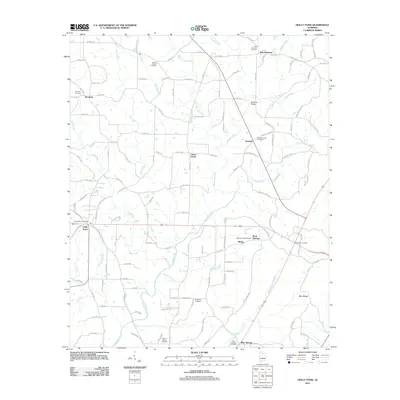
2011 Map of Holly Pond
USGS Topo · Published 2011About this map
Mulberry Fork serves as the central hydrological artery for this section of Cullman County, joined by numerous tributaries including Beckworth Branch, Pan Creek, and Copeland Creek. The landscape is defined by a dense network of country roads connecting small communities such as Holly Pond, Brooklyn, and Roswell. For researchers, the presence of several established burial grounds like New Harmony Cemetery, Eidson Chapel Cemetery, and Mount Hebron Cemetery provides significant genealogical reference points across the terrain.
Find a feature on this map
135 named features on this map. Tap any name to fly to it.
Don’t see what you’re looking for? This feature index may not catch every label — zoom into the map to look around manually.
Map Details
Editions of this 2011 Holly Pond Map
This is the sole edition of this map. No revisions or reprints were ever made.
Other maps of this area

1885 · Gadsden
USGS Topo · 1:125,000

1888 · Cullman
USGS Topo · 1:125,000

1888 · Gadsden
USGS Topo · 1:125,000

1892 · Cullman
USGS Topo · 1:125,000

1892 · Gadsden
USGS Topo · 1:125,000

1895 · Gadsden
USGS Topo · 1:125,000

1903 · Gadsden
USGS Topo · 1:125,000

1936 · Hulaco
USGS Topo · 1:24,000

1936 · Arab
USGS Topo · 1:24,000

1936 · Lawrence Cove
USGS Topo · 1:24,000