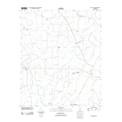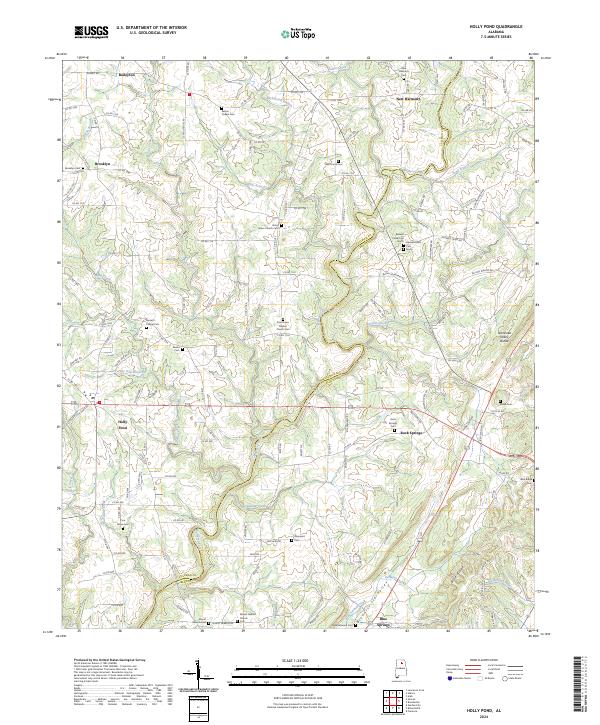
2024 Map of Holly Pond
USGS Topo · Published 2024About this map
The Tennessee Valley Divide cuts through this corner of Cullman and Blount Counties, separating the northern waters of Pan Creek and Cabin Creek from the southern reaches of the Mulberry Fork. The landscape is a network of ridges and valleys, centered on the settlement of Holly Pond and the outlying communities of Baileyton and Brooklyn. This agricultural and residential patchwork is defined by its deep-rooted local history, evidenced by the high concentration of family and community burial grounds such as Zion Grove Baptist Church Cem and Eidson Chapel Cem.
Find a feature on this map
138 named features on this map. Tap any name to fly to it.
Don’t see what you’re looking for? This feature index may not catch every label — zoom into the map to look around manually.
Map Details
Editions of this 2024 Holly Pond Map
This is the sole edition of this map. No revisions or reprints were ever made.
Historical Maps of Holly Pond Through Time
8 maps found