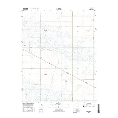
2016 Map of Homelake
USGS Topo · Published 2016About this map
The Rio Grande snakes through this high-altitude agricultural landscape, anchoring an intricate network of irrigation systems that defines the region's development. Small settlements and junction points like Homelake, Sugar Junction, and Zinzer dot the plains east of Monte Vista, many of them historically tied to the rail and water infrastructure of the San Luis Valley. This irrigation-dependent economy is evident in the dense concentration of named waterways, including the Empire Canal, San Luis Valley Canal, Centennial Ditch, and Excelsior Ditch. These features reveal a complex history of water rights and land management essential to local farming. The eastern portion of the map straddles the boundary between Rio Grande Co and Alamosa Co, while the Monte Vista Municipal Airport serves as a modern landmark amidst the older grids of the Public Land Survey System, marked here by Townships 38 and 39 North.
Find a feature on this map
43 named features on this map. Tap any name to fly to it.
Don’t see what you’re looking for? This feature index may not catch every label — zoom into the map to look around manually.
Map Details
Editions of this 2016 Homelake Map
This is the sole edition of this map. No revisions or reprints were ever made.
Other maps of this area
1915 · Del Norte
USGS Topo · 1:125,000
1917 · Del Norte
USGS Topo · 1:125,000
1922 · Conejos
USGS Topo · 1:125,000

1945 · Durango
USGS Topo · 1:250,000
1953 · Durango
USGS Topo · 1:250,000
1954 · Durango
USGS Topo · 1:250,000
1954 · Trinidad
USGS Topo · 1:250,000
1955 · Trinidad
USGS Topo · 1:250,000
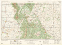
1958 · Trinidad
USGS Topo · 1:250,000
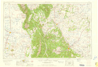
1959 · Trinidad
USGS Topo · 1:250,000