Loading...
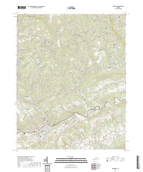
Loading map...2022 Map of Honaker
USGS Topo · Published 2022About this map
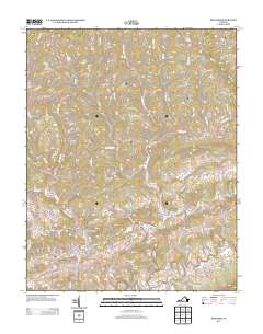
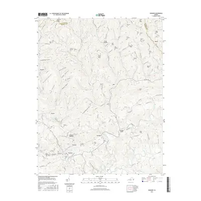
Honaker serves as a focal point within this modern topographic study of the ridge-and-valley landscape along the Buchanan and Russell county lines. The town’s position at the edge of Wysor Valley is surrounded by a dense network of family cemeteries, reflecting generations of local heritage. Names such as Silas William Boyd, Evan Kendrick, and Harvey-Honaker are preserved on the landscape, providing specific locations for genealogical research.
Find a feature on this map
123 named features on this map. Tap any name to fly to it.
Don’t see what you’re looking for? This feature index may not catch every label — zoom into the map to look around manually.
Map Details
Date Portrayed2022
Date Published2022
PublisherU.S. Geological Survey
Map TypeTopographic
Scale1:24,000
Physical Dimensions24 x 29 inches
Editions of this 2022 Honaker Map
This is the sole edition of this map. No revisions or reprints were ever made.
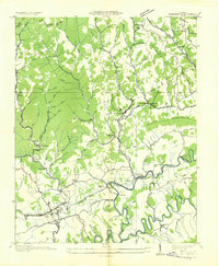
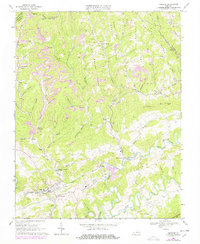
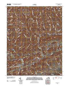
Historical Maps of Honaker Through Time
7 maps found
Featured Locations
Source Details
SourceU.S. Geological Survey
CopyrightPublic Domain