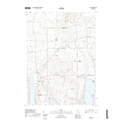
2019 Map of Honeoye
USGS Topo · Published 2019About this map
Honeoye Lake and Hemlock Lake anchor this study of the Finger Lakes region's northern reaches, where the landscape is defined by deep glacial valleys and steep ravines. Between these bodies of water, the terrain is incised by Whetstone Brook and the sharp drops of Affolter Gully and Bray Gully, which drain the elevated ridges. The settlement pattern remains largely agricultural and low-density, centered on small hamlets such as Denison Corner, Richmond Center, and Honeoye.
Find a feature on this map
103 named features on this map. Tap any name to fly to it.
Don’t see what you’re looking for? This feature index may not catch every label — zoom into the map to look around manually.
Map Details
Editions of this 2019 Honeoye Map
This is the sole edition of this map. No revisions or reprints were ever made.
Other maps of this area

1900 · Naples
USGS Topo · 1:62,500

1900 · Canandaigua
USGS Topo · 1:62,500

1901 · Honeoye
USGS Topo · 1:62,500

1902 · Wayland
USGS Topo · 1:62,500

1903 · Naples
USGS Topo · 1:62,500

1903 · Canandaigua
USGS Topo · 1:62,500

1904 · Wayland
USGS Topo · 1:62,500

1904 · Honeoye
USGS Topo · 1:62,500

1913 · Naples
USGS Topo · 1:62,500

1934 · Rush
USGS Topo · 1:24,000