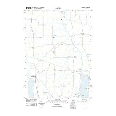
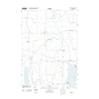
2023 Map of Honeoye
USGS Topo · Published 2023About this map
Honeoye Lake and Hemlock Lake dominate the lower corners of this landscape at the border of Livingston and Ontario counties. The settlement pattern here is defined by small hamlets and family-named corners such as Dennison Corner and Allens Hill, connected by a network of drainage-aligned roads like Allens Hill Rd and Purcell Rd. The map reveals a high density of burial grounds, including Lakeview Cem near Honeoye and the secluded Canadice Hollow Cem, which offer significant value for genealogists tracing early families in the Finger Lakes region.
Find a feature on this map
103 named features on this map. Tap any name to fly to it.
Don’t see what you’re looking for? This feature index may not catch every label — zoom into the map to look around manually.
Map Details
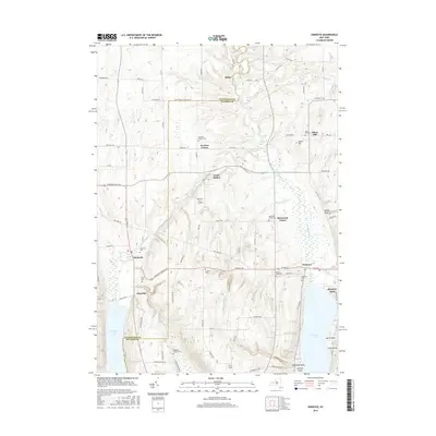
Editions of this 2023 Honeoye Map
This is the sole edition of this map. No revisions or reprints were ever made.
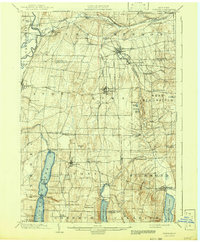
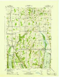
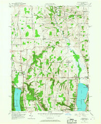
Historical Maps of Livonia Through Time
9 maps found