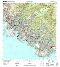
1978 Map of Honolulu
USGS Topo · Published 1981About this map
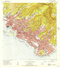
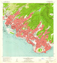
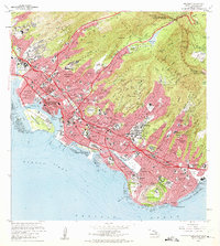
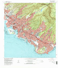
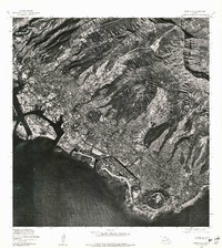
Honolulu appears in high-resolution detail on this 1970s orthophotoquad, showcasing the dense urban development stretching from the harbor to the inland peaks. This unique format combines aerial photography from late 1976 with topographic labeling, providing a clear view of the city’s footprint before the turn of the decade. The iconic crater of Diamond Head anchors the southeastern coastline, while the rugged terrain of Konahuanui dominates the northern skyline. The imagery reveals the complex relationship between the built environment and the islands' volcanic geography, capturing the expansive piers and industrial zones along Mamala Bay and the residential neighborhoods climbing into the lush valleys of Oahu.
Find a feature on this map
4 named features on this map. Tap any name to fly to it.
Don’t see what you’re looking for? This feature index may not catch every label — zoom into the map to look around manually.
Map Details
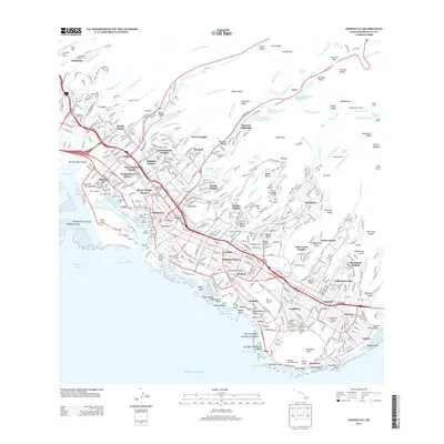
Editions of this 1978 Honolulu Map
This is the sole edition of this map. No revisions or reprints were ever made.
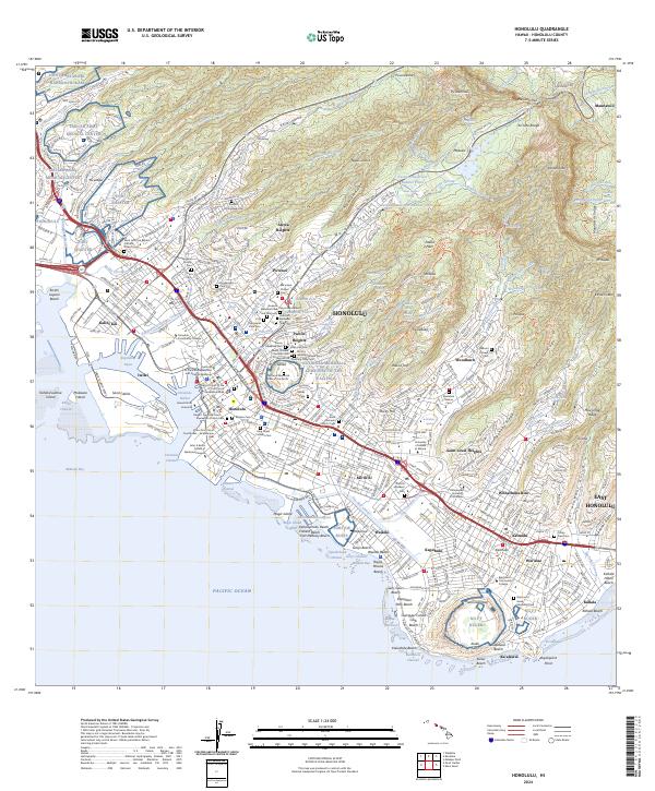
Historical Maps of Honolulu Through Time
9 maps found