Loading...
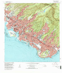
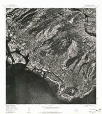
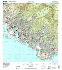
Loading map...1983 Map of Honolulu
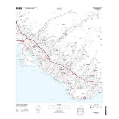
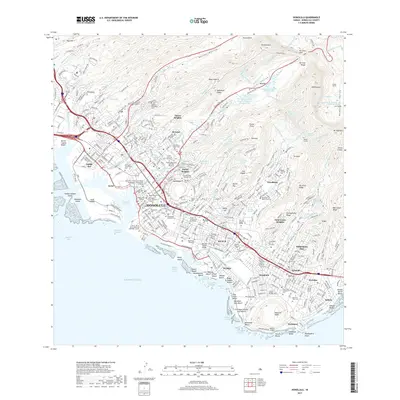
USGS Topo · Published 1986About this map
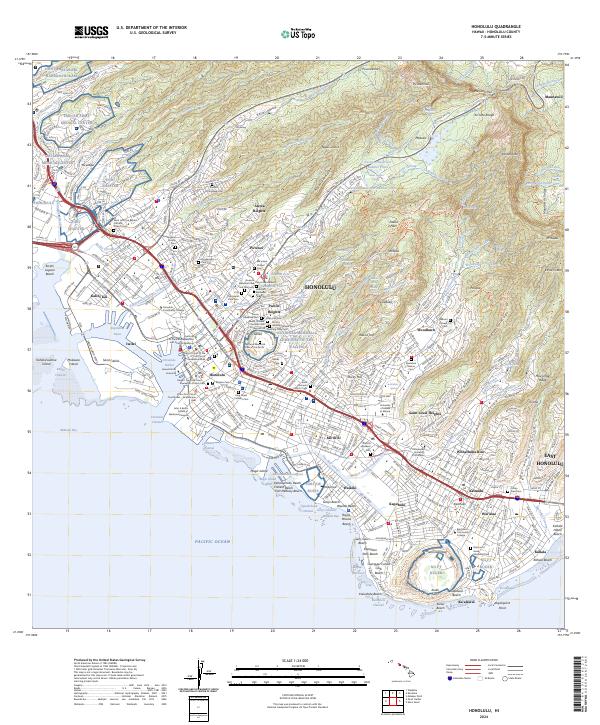
Diamond Head and the volcanic crater of Punchbowl anchor the urban landscape of Honolulu in this early 1980s topographical survey. The map details the dense residential expansion climbing the ridges of the Koolau Range, including neighborhoods like Wilhelmina Rise and St Louis Heights. The coastal corridor is dominated by the tourism infrastructure of Waikiki and the industrial activity around Honolulu Harbor and the Kapalama Basin.
Find a feature on this map
104 named features on this map. Tap any name to fly to it.
Don’t see what you’re looking for? This feature index may not catch every label — zoom into the map to look around manually.
Map Details
Date Portrayed1983
Date Published1986
PublisherU.S. Geological Survey
Map TypeTopographic
Scale1:24,000
Physical Dimensions24 x 28.2 inches
Editions of this 1983 Honolulu Map
This is the sole edition of this map. No revisions or reprints were ever made.
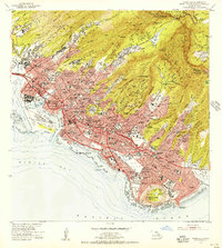
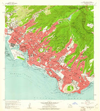
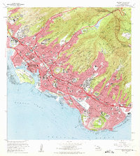
Historical Maps of Honolulu Through Time
9 maps found
Featured Locations
Source Details
SourceU.S. Geological Survey
CopyrightPublic Domain