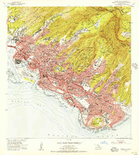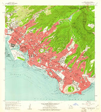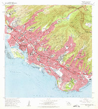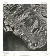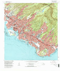
1998 Map of Honolulu
USGS Topo · Published 2000About this map
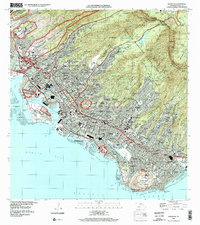
The dense urban center of Honolulu is framed by the steep ridges of the Koolaupoko District and the iconic profile of Diamond Head. This late 1990s survey documents the complex geography of the city, from the industrial waterfronts of Kapalama Basin and Honolulu Harbor to the residential heights of Wilhelmina Rise and St Louis Heights. The map highlights the city's significant military footprint at the Fort Shafter Military Reservation and the National Memorial Cemetery of the Pacific (Punchbowl), which sits within the ancient volcanic crater. Inland, the Honolulu Watershed Forest Reserve provides a stark contrast to the developed grids of Waikiki and Kaimuki. Key institutional landmarks are noted throughout, including the University of Hawaii, Tripler Hospital, and the historic Aloha Tower, illustrating the island's role as a Pacific hub of administration, education, and defense.
Find a feature on this map
88 named features on this map. Tap any name to fly to it.
Don’t see what you’re looking for? This feature index may not catch every label — zoom into the map to look around manually.
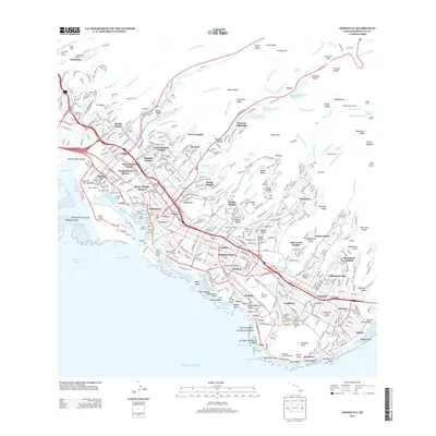
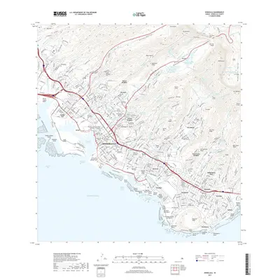
Map Details
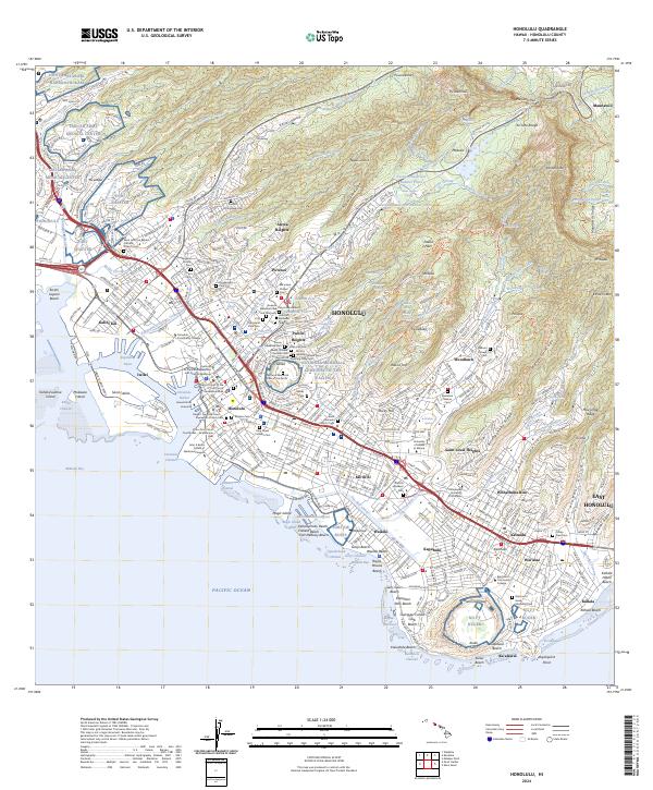
Editions of this 1998 Honolulu Map
This is the sole edition of this map. No revisions or reprints were ever made.
Historical Maps of Honolulu Through Time
9 maps found