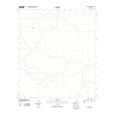
2010 Map of Hood Spring
USGS Topo · Published 2010About this map
Hood Spring and Kincaid Spring serve as the primary hydrologic anchors in this arid reach of Brewster County. The landscape is defined by a series of intermittent drainages and draws that carve through the high desert, including the prominent Bacon Draw and the winding course of Indian Creek. In a region where water determines the history of land use and settlement, these specific named springs and the seasonal flows of Kincaid Creek and San Francisco Creek mark the essential landmarks for navigation and ranching. This 2010 U.S. Geological Survey representation details the modern road network and topography of the quadrangle, illustrating how human infrastructure follows the natural contours of the West Texas terrain.
Find a feature on this map
6 named features on this map. Tap any name to fly to it.
Don’t see what you’re looking for? This feature index may not catch every label — zoom into the map to look around manually.
Map Details
Editions of this 2010 Hood Spring Map
This is the sole edition of this map. No revisions or reprints were ever made.
Other maps of this area

1917 · Hood Spring
USGS Topo · 1:62,500

1918 · Bone Spring
USGS Topo · 1:125,000

1918 · Hood Spring
USGS Topo · 1:62,500

1918 · Dove Mountain
USGS Topo · 1:62,500

1920 · Longfellow
USGS Topo · 1:125,000

1920 · Marathon
USGS Topo · 1:62,500

1921 · Marathon
USGS Topo · 1:62,500

1931 · Hood Spring
USGS Topo · 1:62,500

1954 · Fort Stockton
USGS Topo · 1:250,000

1958 · Fort Stockton
USGS Topo · 1:250,000