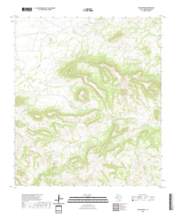
2022 Map of Hood Spring
USGS Topo · Published 2022About this map
Hood Spring serves as a vital water source in this arid stretch of Brewster County, where the topography is defined by significant elevation changes and seasonal drainage systems. The landscape is carved by prominent corridors such as Bacon Draw, which cut through the high ground towards the intermittent flows of Indian Cr and San Francisco Cr to the north and east. The concentration of water features in the central portion of the sheet, including Kincaid Spring and its associated Kincaid Creek, indicates a historical reliance on these specific points for ranching and survival in the Chihuahuan Desert. This 2022 survey illustrates the enduring importance of isolated springs in a terrain where natural landmarks like Kincaid Creek dictate the movement of both wildlife and humans.
Find a feature on this map
7 named features on this map. Tap any name to fly to it.
Don’t see what you’re looking for? This feature index may not catch every label — zoom into the map to look around manually.
Map Details
Editions of this 2022 Hood Spring Map
This is the sole edition of this map. No revisions or reprints were ever made.
Other maps of this area

1917 · Hood Spring
USGS Topo · 1:62,500

1918 · Bone Spring
USGS Topo · 1:125,000

1918 · Hood Spring
USGS Topo · 1:62,500

1918 · Dove Mountain
USGS Topo · 1:62,500

1920 · Longfellow
USGS Topo · 1:125,000

1920 · Marathon
USGS Topo · 1:62,500

1921 · Marathon
USGS Topo · 1:62,500

1931 · Hood Spring
USGS Topo · 1:62,500

1954 · Fort Stockton
USGS Topo · 1:250,000

1958 · Fort Stockton
USGS Topo · 1:250,000