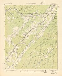
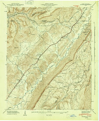
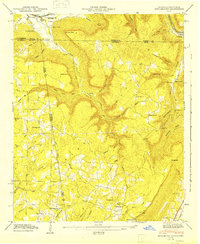
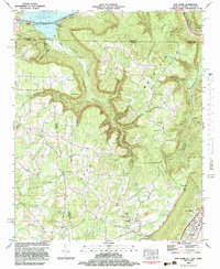
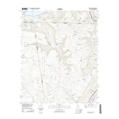
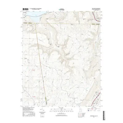
1936 Map of Hooker
USGS Topo · Published 1936About this map
Lookout Mountain and Raccoon Mountain dominate this mid-1930s landscape, carved by the Tennessee River and Lookout Creek. The terrain is defined by a dense network of mountain gaps and ridges, including Windy Gap, Stidmon Gap, and the long spine of Tatum Ridge. This era shows a region heavily reliant on rail transport, with the Nashville Chattanooga and St Louis Railway, Southern Railway, and Central of Georgia Railway all threading through the valleys to connect settlements like Whiteside, Morganville, and Wildwood.
Find a feature on this map
73 named features on this map. Tap any name to fly to it.
Don’t see what you’re looking for? This feature index may not catch every label — zoom into the map to look around manually.
Map Details
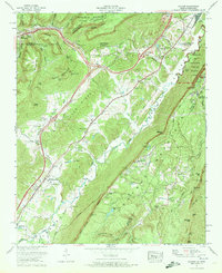
Editions of this 1936 Hooker Map
This is the sole edition of this map. No revisions or reprints were ever made.
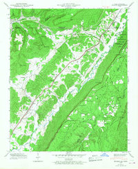
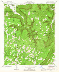
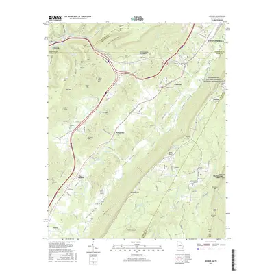
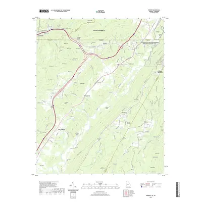
Historical Maps of Chattanooga Through Time
20 maps found
1936 Hooker
Dade County, GA

1936 Shellmound
Dade County, GA
1945 Hooker
Dade County, GA
1945 Shellmound
Dade County, GA
1946 Hooker
Dade County, GA
1946 Shellmound
Dade County, GA
1970 Hooker
Dade County, GA
1970 New Home
Dade County, GA
1982 Hooker
Dade County, GA
1982 New Home
Dade County, GA
2010 Hooker
Dade County, GA
2010 New Home
Dade County, GA
2014 Hooker
Dade County, GA
2014 New Home
Dade County, GA
2017 Hooker
Dade County, GA
2017 New Home
Dade County, GA
2020 Hooker
Dade County, GA
2020 New Home
Dade County, GA
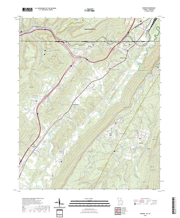
2024 Hooker
Dade County, GA
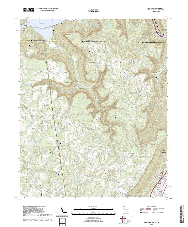
2024 New Home
Dade County, GA