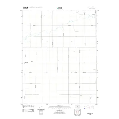
2012 Map of Hopewell
USGS Topo · Published 2012About this map
Hopewell sits at a crossroads in the western portion of this Kansas landscape, reflecting the organized grid of rural settlement typical of the High Plains. The terrain is primarily shaped by the winding path of Rattlesnake Cr, which meanders across the northern half of the quadrangle. This waterway provides a distinct contrast to the straight, surveyed lines of the regional road network, including Macksville Rd and Emerson Rd. For those tracing local heritage, the map identifies two significant burial sites: Byers Cem in the east and Pleasant Plains Cem to the south. These features, along with the numerous section lines and named avenues like NW 110th St, offer a clear view of the agricultural distribution and community anchors in Pratt County during the early 21st century.
Find a feature on this map
26 named features on this map. Tap any name to fly to it.
Don’t see what you’re looking for? This feature index may not catch every label — zoom into the map to look around manually.
Map Details
Editions of this 2012 Hopewell Map
This is the sole edition of this map. No revisions or reprints were ever made.
Other maps of this area

1889 · Kinsley
USGS Topo · 1:125,000

1892 · Kinsley
USGS Topo · 1:125,000

1892 · Pratt
USGS Topo · 1:125,000

1894 · Kinsley
USGS Topo · 1:125,000

1894 · Pratt
USGS Topo · 1:125,000

1955 · Pratt
USGS Topo · 1:250,000

1959 · Pratt
USGS Topo · 1:250,000

1968 · Cullison
USGS Topo · 1:24,000

1968 · Coats NE
USGS Topo · 1:24,000

1968 · Haviland NE
USGS Topo · 1:24,000