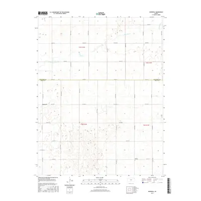
2015 Map of Hopewell
USGS Topo · Published 2015About this map
Hopewell serves as the focal point of this agricultural landscape along the boundary of Stafford Co and Pratt Co in central Kansas. The terrain is characterized by the winding path of Rattlesnake Cr, which cuts through the northern sections of the survey. A rigid grid of section roads, including Macksville Rd and Emerson Rd, structures the rural homesteads and fields that dominate the territory. For genealogists and local historians, the map identifies specific burial grounds such as Pleasant Plains Cem and Byers Cem, providing essential markers of the area's early settlement. This survey documents the intersection of natural drainage patterns with the systematic land divisions of the Public Land Survey System, specifically within townships like t25s r15w and t26s r14w.
Find a feature on this map
32 named features on this map. Tap any name to fly to it.
Don’t see what you’re looking for? This feature index may not catch every label — zoom into the map to look around manually.
Map Details
Editions of this 2015 Hopewell Map
This is the sole edition of this map. No revisions or reprints were ever made.
Other maps of this area

1889 · Kinsley
USGS Topo · 1:125,000

1892 · Kinsley
USGS Topo · 1:125,000

1892 · Pratt
USGS Topo · 1:125,000

1894 · Kinsley
USGS Topo · 1:125,000

1894 · Pratt
USGS Topo · 1:125,000

1955 · Pratt
USGS Topo · 1:250,000

1959 · Pratt
USGS Topo · 1:250,000

1968 · Cullison
USGS Topo · 1:24,000

1968 · Coats NE
USGS Topo · 1:24,000

1968 · Haviland NE
USGS Topo · 1:24,000