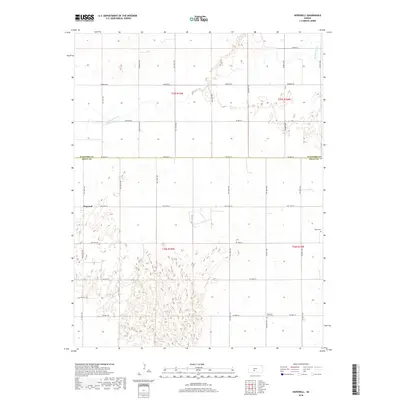
2018 Map of Hopewell
USGS Topo · Published 2018About this map
The borderlands of Stafford and Pratt counties in central Kansas are defined by the winding course of Rattlesnake Creek and a rigid grid of rural roads. The small settlement of Hopewell sits at the intersection of NW 110th Street and NW 140th Avenue, serving as a local anchor in this agricultural landscape. Family historians will find specific value in the placement of Pleasant Plains Cemetery and Byers Cemetery, which stand as quiet landmarks among the section lines. The terrain is marked by numerous small depressions and drainage patterns characteristic of the region's geography, with thoroughfares like Macksville Road and Emerson Road providing the primary transit network between townships.
Find a feature on this map
32 named features on this map. Tap any name to fly to it.
Don’t see what you’re looking for? This feature index may not catch every label — zoom into the map to look around manually.
Map Details
Editions of this 2018 Hopewell Map
This is the sole edition of this map. No revisions or reprints were ever made.
Other maps of this area

1889 · Kinsley
USGS Topo · 1:125,000

1892 · Kinsley
USGS Topo · 1:125,000

1892 · Pratt
USGS Topo · 1:125,000

1894 · Kinsley
USGS Topo · 1:125,000

1894 · Pratt
USGS Topo · 1:125,000

1955 · Pratt
USGS Topo · 1:250,000

1959 · Pratt
USGS Topo · 1:250,000

1968 · Cullison
USGS Topo · 1:24,000

1968 · Coats NE
USGS Topo · 1:24,000

1968 · Haviland NE
USGS Topo · 1:24,000