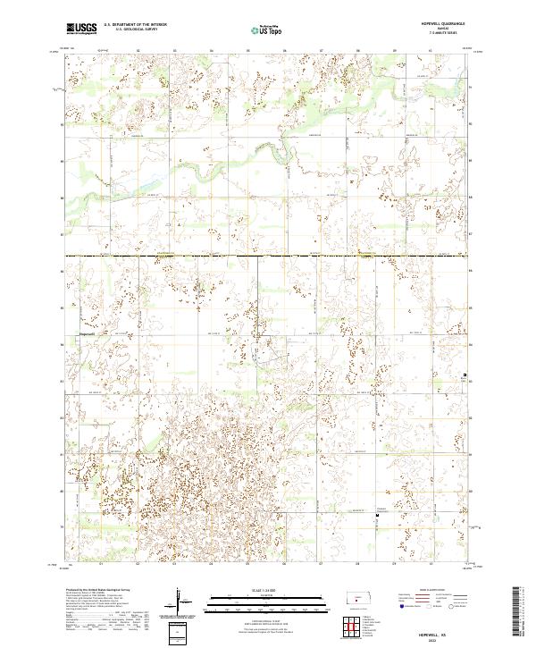
2022 Map of Hopewell
USGS Topo · Published 2022About this map
Hopewell sits at the intersection of a vast agricultural landscape where the northern edge of the Pratt Sand Hills meets the fertile plains of the Kansas interior. The terrain is marked by the meandering path of Rattlesnake Cr, a watercourse that winds through the northern sections of the map, defining the local drainage patterns. The boundary between Stafford Co and Pratt Co bisects the quadrangle, highlighting the administrative division of this rural expanse. For those researching family history in the area, the map identifies significant local landmarks such as Pleasant Plains Cem and Byers Cem, which serve as quiet anchors for the surrounding farming communities. The road network, including Macksville Rd and Emerson Rd, follows a strict section-line grid, reflecting the methodical land survey and development of the region's agricultural industry.
Find a feature on this map
32 named features on this map. Tap any name to fly to it.
Don’t see what you’re looking for? This feature index may not catch every label — zoom into the map to look around manually.
Map Details
Editions of this 2022 Hopewell Map
This is the sole edition of this map. No revisions or reprints were ever made.
Other maps of this area

1889 · Kinsley
USGS Topo · 1:125,000

1892 · Kinsley
USGS Topo · 1:125,000

1892 · Pratt
USGS Topo · 1:125,000

1894 · Kinsley
USGS Topo · 1:125,000

1894 · Pratt
USGS Topo · 1:125,000

1955 · Pratt
USGS Topo · 1:250,000

1959 · Pratt
USGS Topo · 1:250,000

1968 · Cullison
USGS Topo · 1:24,000

1968 · Coats NE
USGS Topo · 1:24,000

1968 · Haviland NE
USGS Topo · 1:24,000