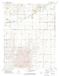
1971 Map of Hopewell
USGS Topo · Published 1974About this map
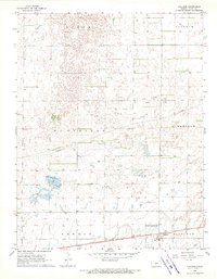
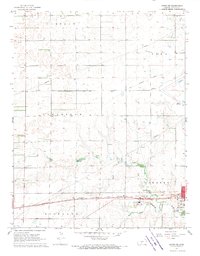
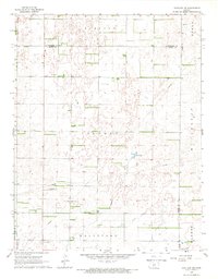
Pratt Sandhills State Wildlife Management Area dominates the southwestern corner of this survey, representing a significant landscape preservation effort in central Kansas during the early 1970s. The terrain transitions from the protected sandhills into productive energy and agricultural lands, defined by an active Oil and Gas Field and scattered oil wells across the townships of Clear Creek and Albano.
Find a feature on this map
22 named features on this map. Tap any name to fly to it.
Don’t see what you’re looking for? This feature index may not catch every label — zoom into the map to look around manually.
Map Details
Editions of this 1971 Hopewell Map
This is the sole edition of this map. No revisions or reprints were ever made.
Other maps of this area

1889 · Kinsley
USGS Topo · 1:125,000

1892 · Kinsley
USGS Topo · 1:125,000

1892 · Pratt
USGS Topo · 1:125,000

1894 · Kinsley
USGS Topo · 1:125,000

1894 · Pratt
USGS Topo · 1:125,000

1955 · Pratt
USGS Topo · 1:250,000

1959 · Pratt
USGS Topo · 1:250,000
1968 · Cullison
USGS Topo · 1:24,000
1968 · Coats NE
USGS Topo · 1:24,000
1968 · Haviland NE
USGS Topo · 1:24,000