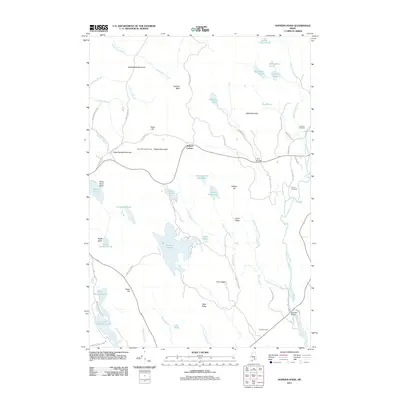
2011 Map of Hopkins Pond
USGS Topo · Published 2011About this map
Saddleback Mountain and the prominent Chick Hill dominate the northern terrain of this Penobscot County landscape, providing a backdrop for the transition into the West Branch Union River valley. The map documents a sparsely settled region anchored by Archers Corners and a network of logging and access roads such as Bradbury Brook Rd and Hopkins Pond Rd. Notable landmarks include the Chick Hill Lookout Tower and the Twin Bridges crossing.
Find a feature on this map
71 named features on this map. Tap any name to fly to it.
Don’t see what you’re looking for? This feature index may not catch every label — zoom into the map to look around manually.
Map Details
Editions of this 2011 Hopkins Pond Map
This is the sole edition of this map. No revisions or reprints were ever made.
Other maps of this area

1900 · Orland
USGS Topo · 1:62,500

1902 · Orono
USGS Topo · 1:62,500

1911 · Ellsworth
USGS Topo · 1:62,500

1929 · Great Pond
USGS Topo · 1:48,000

1932 · Great Pond
USGS Topo · 1:62,500

1940 · Ellsworth
USGS Topo · 1:62,500

1942 · Orland
USGS Topo · 1:62,500

1942 · Ellsworth
USGS Topo · 1:62,500

1944 · Orono
USGS Topo · 1:62,500

1946 · Orono
USGS Topo · 1:62,500