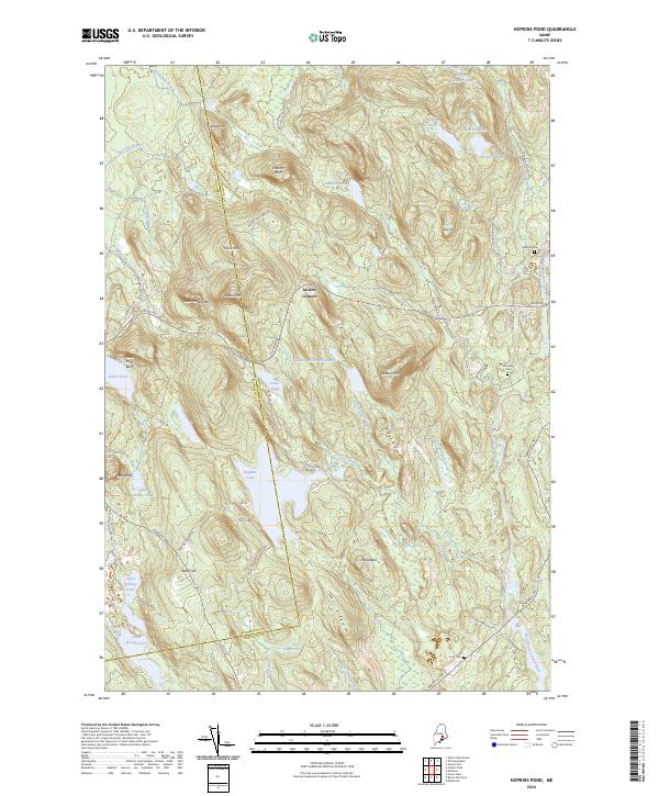
2024 Map of Hopkins Pond
USGS Topo · Published 2024About this map
Archers Corners serves as a central point in this Maine landscape, where the Airline Rd cuts through a region defined by dramatic elevations and numerous glacial water bodies. The terrain is dominated by prominent heights such as Chick Hill, Peaked Mtn, and the distinctive Eagle Bluff overlooking Cedar Swamp Pond. This 2024 survey detail highlights the persistent rural character of the Hancock and Penobscot county line, showing how modern roads like Mariaville Rd follow the natural contours of Nats Ridge and the West Branch Union River valley.
Find a feature on this map
72 named features on this map. Tap any name to fly to it.
Don’t see what you’re looking for? This feature index may not catch every label — zoom into the map to look around manually.
Map Details
Editions of this 2024 Hopkins Pond Map
This is the sole edition of this map. No revisions or reprints were ever made.
Other maps of this area

1900 · Orland
USGS Topo · 1:62,500

1902 · Orono
USGS Topo · 1:62,500
1911 · Ellsworth
USGS Topo · 1:62,500
1929 · Great Pond
USGS Topo · 1:48,000
1932 · Great Pond
USGS Topo · 1:62,500
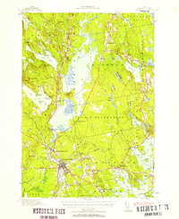
1940 · Ellsworth
USGS Topo · 1:62,500
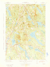
1942 · Orland
USGS Topo · 1:62,500
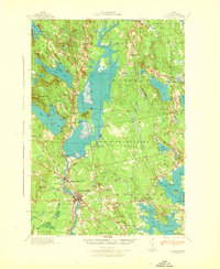
1942 · Ellsworth
USGS Topo · 1:62,500
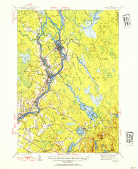
1944 · Orono
USGS Topo · 1:62,500
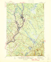
1946 · Orono
USGS Topo · 1:62,500