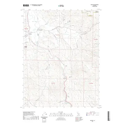
2021 Map of Hopland
USGS Topo · Published 2021About this map
The Russian River flows southward through the heart of the Sanel Valley, anchoring the agricultural and transportation corridor of this Mendocino County landscape. The distinction between Hopland and Old Hopland is preserved here, reflecting the historical shift of the settlement's center. To the east, the McDowell Valley is sheltered by the rising elevations of the Mayacmas Mountains, while the rugged southern terrain is marked by the prominent Squaw Rock and its adjacent Squaw Rock Slide above Pieta. The map traces a complex network of ranch roads, such as Pratt Ranch Rd and Hooper Ranch Rd, which weave through the valleys alongside established routes like the Hopland Grade. For those researching local heritage, both the Hopland Cem and the Hopland Rancheria Cem provide specific points of geographic interest within the tribal and pioneer history of the region.
Find a feature on this map
52 named features on this map. Tap any name to fly to it.
Don’t see what you’re looking for? This feature index may not catch every label — zoom into the map to look around manually.
Map Details
Editions of this 2021 Hopland Map
This is the sole edition of this map. No revisions or reprints were ever made.
Other maps of this area

1920 · Ukiah
USGS Topo · 1:62,500

1921 · Kelseyville
USGS Topo · 1:62,500

1938 · Lakeport
USGS Topo · 1:62,500

1938 · Hopland
USGS Topo · 1:62,500

1943 · Kelseyville
USGS Topo · 1:62,500

1943 · Hopland
USGS Topo · 1:62,500

1944 · Ukiah
USGS Topo · 1:62,500

1944 · Hopland
USGS Topo · 1:62,500

1947 · Santa Rosa
USGS Topo · 1:250,000

1949 · Santa Rosa
USGS Topo · 1:250,000