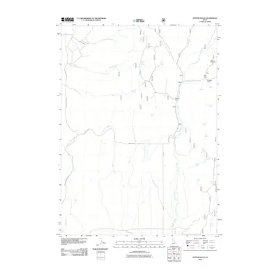
2011 Map of Hopper Gulch
USGS Topo · Published 2011About this map
Shoshone Creek and its many tributaries define this high-altitude drainage basin in Twin Falls County. The landscape is characterized by a dense network of seasonal and year-round water sources, including family-named and date-specific landmarks such as Fourth of July Spring, Soldier Spring, and Whittle Spring. The concentration of these springs suggests a critical dependence on reliable water for livestock or local travel through the gulches.
Find a feature on this map
33 named features on this map. Tap any name to fly to it.
Don’t see what you’re looking for? This feature index may not catch every label — zoom into the map to look around manually.
Map Details
Editions of this 2011 Hopper Gulch Map
This is the sole edition of this map. No revisions or reprints were ever made.
Other maps of this area

1955 · Twin Falls
USGS Topo · 1:250,000

1958 · Twin Falls
USGS Topo · 1:250,000

1965 · Hollister
USGS Topo · 1:24,000

1965 · Grand View Peak
USGS Topo · 1:24,000

1965 · Mc Mullen Basin
USGS Topo · 1:24,000

1977 · Timber Butte
USGS Topo · 1:24,000

1977 · Big Creek Ranch
USGS Topo · 1:24,000

1977 · Rogerson
USGS Topo · 1:24,000

1977 · Magic Hot Springs
USGS Topo · 1:24,000

1978 · Hopper Gulch
USGS Topo · 1:24,000