
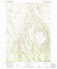
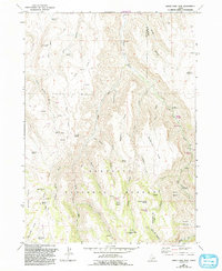
1965 Map of Grand View Peak
USGS Topo · Published 1966About this map
Grand View Peak and the surrounding high country of the Sawtooth National Forest dominate this mid-1960s survey along the Twin Falls and Cassia county line. The landscape is defined by a dense network of water sources, from Lincoln Reservoir in the northeast to the numerous family-named and descriptive springs such as Crockett Spring, Indian Spring, and Sugarloaf Spring. These reliable water points supported a high-elevation backcountry economy of grazing and recreation, evidenced by the cluster of camps and picnic areas along Rock Creek.
Find a feature on this map
47 named features on this map. Tap any name to fly to it.
Don’t see what you’re looking for? This feature index may not catch every label — zoom into the map to look around manually.
Map Details
Editions of this 1965 Grand View Peak Map
3 editions found
Other maps of this area

1955 · Twin Falls
USGS Topo · 1:250,000

1958 · Twin Falls
USGS Topo · 1:250,000

1965 · Rams Horn Ridge
USGS Topo · 1:24,000

1965 · Stricker Butte
USGS Topo · 1:24,000

1965 · Hub Butte
USGS Topo · 1:24,000

1965 · Murtaugh
USGS Topo · 1:24,000

1965 · Mc Mullen Basin
USGS Topo · 1:24,000

1978 · Hopper Gulch
USGS Topo · 1:24,000
1978 · Pike Mountain
USGS Topo · 1:24,000
1979 · Trapper Peak
USGS Topo · 1:24,000