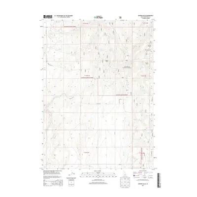
2013 Map of Hopper Gulch
USGS Topo · Published 2013About this map
Sawtooth National Forest dominates this section of Twin Falls County, where a complex network of high-elevation drainages and springs defines the remote landscape. The map reveals a rugged hydrologic system where Shoshone Cr and Deep Cr collect water from numerous named sources, including Fourth of July Spring, Stratton Spring, and Nelson Spring. These water sources were historically vital for livestock and early forest management in the high Idaho desert.
Find a feature on this map
39 named features on this map. Tap any name to fly to it.
Don’t see what you’re looking for? This feature index may not catch every label — zoom into the map to look around manually.
Map Details
Editions of this 2013 Hopper Gulch Map
This is the sole edition of this map. No revisions or reprints were ever made.
Other maps of this area

1955 · Twin Falls
USGS Topo · 1:250,000

1958 · Twin Falls
USGS Topo · 1:250,000

1965 · Hollister
USGS Topo · 1:24,000

1965 · Grand View Peak
USGS Topo · 1:24,000

1965 · Mc Mullen Basin
USGS Topo · 1:24,000

1977 · Timber Butte
USGS Topo · 1:24,000

1977 · Big Creek Ranch
USGS Topo · 1:24,000

1977 · Rogerson
USGS Topo · 1:24,000

1977 · Magic Hot Springs
USGS Topo · 1:24,000

1978 · Hopper Gulch
USGS Topo · 1:24,000