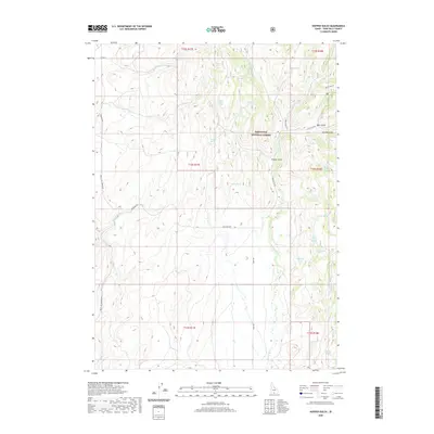
2020 Map of Hopper Gulch
USGS Topo · Published 2020About this map
Sawtooth National Forest land defines the high country of Twin Falls County, where a network of seasonal drainages and named springs sustains the landscape. The terrain is deeply incised by the namesake Hopper Gulch and Arnolds Gulch, leading down into various creek systems including Green Cr, Soldier Cr, and Bole Conn Cr. This is a landscape shaped by water and elevation, where specific groundwater sources like Soldier Spring and Fourth of July Spring provide critical landmarks in an otherwise arid expanse. The map illustrates a rural interior managed for natural resources, crisscrossed by specialized routes such as Magic Mtn Rd and Shoshone Rd. The concentration of named springs, including Lone Pine Spring and Nelson Spring, reveals the essential points of interest for anyone navigating this portion of southern Idaho.
Find a feature on this map
39 named features on this map. Tap any name to fly to it.
Don’t see what you’re looking for? This feature index may not catch every label — zoom into the map to look around manually.
Map Details
Editions of this 2020 Hopper Gulch Map
This is the sole edition of this map. No revisions or reprints were ever made.
Other maps of this area

1955 · Twin Falls
USGS Topo · 1:250,000

1958 · Twin Falls
USGS Topo · 1:250,000

1965 · Hollister
USGS Topo · 1:24,000

1965 · Grand View Peak
USGS Topo · 1:24,000

1965 · Mc Mullen Basin
USGS Topo · 1:24,000

1977 · Timber Butte
USGS Topo · 1:24,000

1977 · Big Creek Ranch
USGS Topo · 1:24,000

1977 · Rogerson
USGS Topo · 1:24,000

1977 · Magic Hot Springs
USGS Topo · 1:24,000

1978 · Hopper Gulch
USGS Topo · 1:24,000