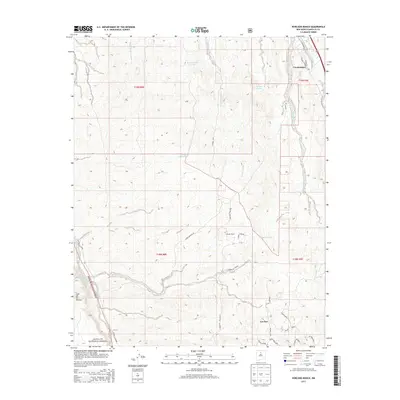
2013 Map of Horcado Ranch
USGS Topo · Published 2013About this map
Cuyamungue and the residential community of Las Dos anchor this high-desert landscape in the early 21st century, illustrating the intersection of established rural settlements and modern land use north of Santa Fe. The terrain is defined by a dense network of seasonal drainage channels, including the Jacona Ranch Arroyo, Arroyo Jacona, and Calabasa Arroyo, which carve through the arid topography toward the Caja del Rio Plateau. In the southern portion of the sheet, the boundary of the Santa Fe National Forest meets a winding series of local roads such as Camino La Tierra and Camino del Cerezo. The map reveals a transition from traditional water management, represented by the Acequia Indios, to modern rural development centered around the namesake Horcado Ranch. This document records the intricate parceling of land and the specific naming of small access routes like Mamies Mile and Vuelta Susana, providing a detailed look at the modern settlement patterns in this part of Santa Fe County.
Find a feature on this map
36 named features on this map. Tap any name to fly to it.
Don’t see what you’re looking for? This feature index may not catch every label — zoom into the map to look around manually.
Map Details
Editions of this 2013 Horcado Ranch Map
This is the sole edition of this map. No revisions or reprints were ever made.
Other maps of this area

1889 · Santa Fe
USGS Topo · 1:125,000

1892 · Santa Clara
USGS Topo · 1:125,000

1894 · Santa Fe
USGS Topo · 1:125,000

1951 · Agua Fria
USGS Topo · 1:24,000

1952 · Santa Fe
USGS Topo · 1:24,000

1952 · White Rock
USGS Topo · 1:24,000

1952 · Puye
USGS Topo · 1:24,000

1952 · Montoso Peak
USGS Topo · 1:24,000

1953 · Tesuque
USGS Topo · 1:24,000

1953 · Espanola
USGS Topo · 1:24,000