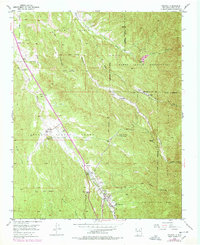
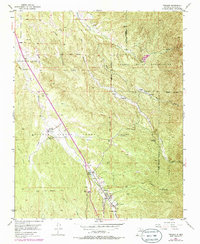
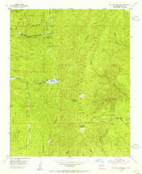
1953 Map of Tesuque
USGS Topo · Published 1953About this map
Tesuque Pueblo and its surrounding ancestral lands dominate this mid-century landscape north of Santa Fe. The settlement patterns are defined by historic land grants and reservations, including the Nambe Indian Reservation and the Juan de Gabaldon Grant. Community life is anchored by local institutions such as the Tesuque Pueblo Day Sch and San Diego Ch, while the landscape is carved by the Rio Tesuque and numerous arroyos.
Find a feature on this map
35 named features on this map. Tap any name to fly to it.
Don’t see what you’re looking for? This feature index may not catch every label — zoom into the map to look around manually.
Map Details
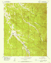
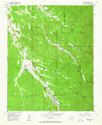
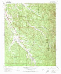
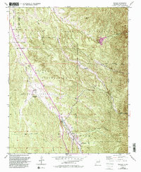
Editions of this 1953 Tesuque Map
6 editions found
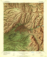
Other maps of this area

1889 · Santa Fe
USGS Topo · 1:125,000

1892 · Santa Clara
USGS Topo · 1:125,000

1894 · Santa Fe
USGS Topo · 1:125,000
1951 · Agua Fria
USGS Topo · 1:24,000
1952 · Santa Fe
USGS Topo · 1:24,000
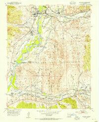
1953 · Espanola
USGS Topo · 1:24,000
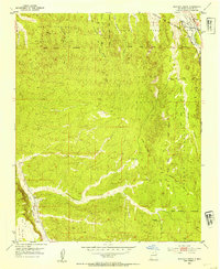
1953 · Horcado Ranch
USGS Topo · 1:24,000
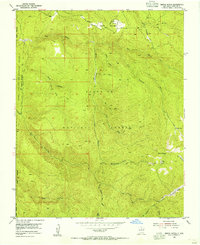
1953 · Sierra Mosca
USGS Topo · 1:24,000
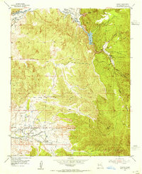
1953 · Cundiyo
USGS Topo · 1:24,000
1953 · Mc Clure Reservoir
USGS Topo · 1:24,000