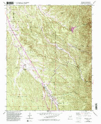
1953 Map of Tesuque
USGS Topo · Published 1993About this map
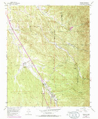
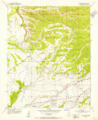
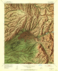
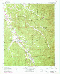
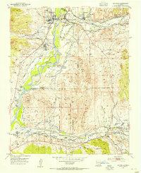
Tesuque Pueblo and the surrounding traditional lands of the Nambe Pueblo Indian Reservation are captured in this mid-century survey, revised during the early 1990s. The geography is defined by the drainage networks of the Rio Nambe and Rio Tesuque, which have historically supported local agriculture and life in these high-altitude communities. The map highlights social and spiritual centers like San Diego Ch, the Tesuque Pueblo Day Sch, and the village of Tesuque itself. Natural landmarks such as Nambe Falls and the distinct formation of Camel Rock sit alongside human infrastructure like the Nambe Reservoir and various water storage features including the Tesuque Pueblo Reservoir. This study illustrates a landscape where land grant boundaries like the Cuyamungue Grant and Juan de Gabaldon Grant overlap with ancestral tribal territories.
Find a feature on this map
46 named features on this map. Tap any name to fly to it.
Don’t see what you’re looking for? This feature index may not catch every label — zoom into the map to look around manually.
Map Details
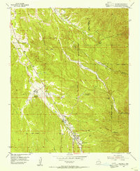
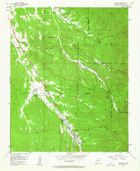
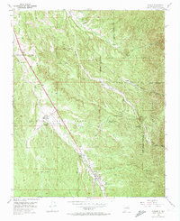
Editions of this 1953 Tesuque Map
6 editions found
Other maps of this area

1889 · Santa Fe
USGS Topo · 1:125,000

1892 · Santa Clara
USGS Topo · 1:125,000

1894 · Santa Fe
USGS Topo · 1:125,000
1951 · Agua Fria
USGS Topo · 1:24,000
1952 · Santa Fe
USGS Topo · 1:24,000
1953 · Tesuque
USGS Topo · 1:24,000
1953 · Espanola
USGS Topo · 1:24,000
1953 · Horcado Ranch
USGS Topo · 1:24,000
1953 · Sierra Mosca
USGS Topo · 1:24,000
1953 · Cundiyo
USGS Topo · 1:24,000