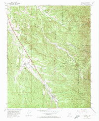
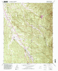
1953 Map of Tesuque
USGS Topo · Published 1974About this map
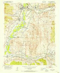
Ancient Spanish land grants and traditional Pueblo lands define the geography of the northern Rio Grande valley in the early 1950s. The map captures a landscape of intense historical complexity, where the boundaries of the Cuyamungue Grant and Nambe Pueblo Grant intersect with modern infrastructure. Central to this area is the Nambe Indian Reservation, featuring Nambe Falls and the headwaters of the Rio Nambe. Along the valley floor, the community of Tesuque and the Tesuque Pueblo Day Sch mark the social heart of the region, while the distinctive Camel Rock formation serves as a natural landmark for travelers moving through the Tesuque Pueblo Grant. Water management is evident through systems like the Tesuque Pueblo Reservoir and various ditches that supported agriculture in this arid terrain.
Find a feature on this map
35 named features on this map. Tap any name to fly to it.
Don’t see what you’re looking for? This feature index may not catch every label — zoom into the map to look around manually.
Map Details
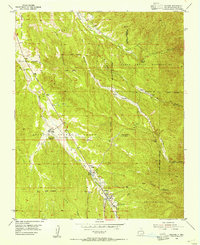
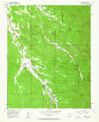
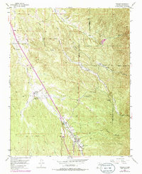
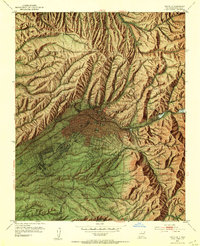
Editions of this 1953 Tesuque Map
6 editions found
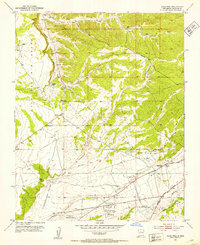
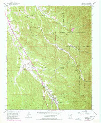
Other maps of this area

1889 · Santa Fe
USGS Topo · 1:125,000

1892 · Santa Clara
USGS Topo · 1:125,000

1894 · Santa Fe
USGS Topo · 1:125,000
1951 · Agua Fria
USGS Topo · 1:24,000
1952 · Santa Fe
USGS Topo · 1:24,000
1953 · Tesuque
USGS Topo · 1:24,000
1953 · Espanola
USGS Topo · 1:24,000
1953 · Horcado Ranch
USGS Topo · 1:24,000
1953 · Sierra Mosca
USGS Topo · 1:24,000
1953 · Cundiyo
USGS Topo · 1:24,000