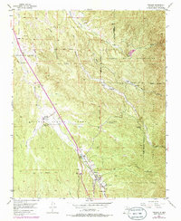
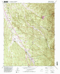
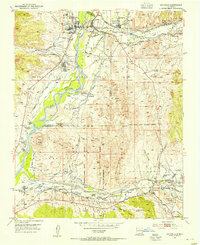
1953 Map of Tesuque
USGS Topo · Published 1986About this map
Pueblo lands and Spanish land grants define the geography of this northern New Mexico landscape, where the Tesuque Pueblo Grant and Nambe Pueblo Grant meet the Juan De Gabaldon Grant. Settlement is clustered along the vital waterways of the Rio Tesuque and Rio Nambe, highlighting the historical reliance on narrow riparian corridors for irrigation and community life. The map reveals important institutional sites such as the San Diego Ch and the Tesuque Pueblo Day Sch.
Find a feature on this map
39 named features on this map. Tap any name to fly to it.
Don’t see what you’re looking for? This feature index may not catch every label — zoom into the map to look around manually.
Map Details
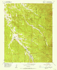
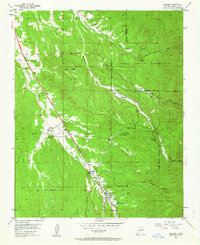
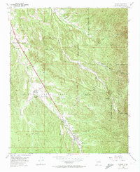
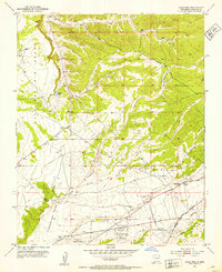
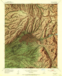
Editions of this 1953 Tesuque Map
6 editions found
Other maps of this area

1889 · Santa Fe
USGS Topo · 1:125,000

1892 · Santa Clara
USGS Topo · 1:125,000

1894 · Santa Fe
USGS Topo · 1:125,000
1951 · Agua Fria
USGS Topo · 1:24,000
1952 · Santa Fe
USGS Topo · 1:24,000
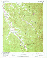
1953 · Tesuque
USGS Topo · 1:24,000
1953 · Espanola
USGS Topo · 1:24,000
1953 · Horcado Ranch
USGS Topo · 1:24,000
1953 · Sierra Mosca
USGS Topo · 1:24,000
1953 · Cundiyo
USGS Topo · 1:24,000