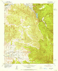
1953 Map of Cundiyo
USGS Topo · Published 1955About this map
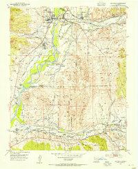
The Nambe Indian Reservation and various Spanish land grants dominate this landscape, reflecting centuries of complex land use and cultural heritage. The community of Nambe Pueblo is situated along the Pojoaque Creek, where the Nambe Indian Sch served the local population. Further north, the settlement of Cundiyo sits near the confluence of the Rio Medio and Rio Frijoles, while the famous Santuario marks a spiritual center in Chimayo.
Find a feature on this map
26 named features on this map. Tap any name to fly to it.
Don’t see what you’re looking for? This feature index may not catch every label — zoom into the map to look around manually.
Map Details
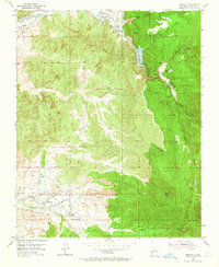
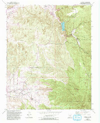
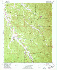
Editions of this 1953 Cundiyo Map
3 editions found
Other maps of this area

1889 · Santa Fe
USGS Topo · 1:125,000

1892 · Santa Clara
USGS Topo · 1:125,000

1894 · Santa Fe
USGS Topo · 1:125,000

1918 · Abiquiu
USGS Topo · 1:125,000
1953 · Tesuque
USGS Topo · 1:24,000
1953 · Espanola
USGS Topo · 1:24,000
1953 · San Juan Pueblo
USGS Topo · 1:24,000
1953 · Horcado Ranch
USGS Topo · 1:24,000

1953 · Truchas
USGS Topo · 1:24,000
1953 · Sierra Mosca
USGS Topo · 1:24,000