
1953 Map of Truchas
USGS Topo · Published 1955About this map
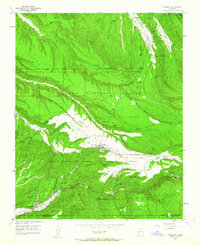
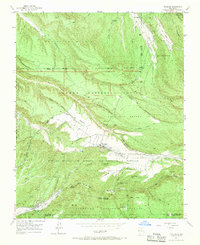
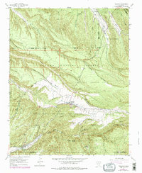
Truchas stands at the heart of this high-elevation landscape, where irrigation ditches and complex land grants define the community structure of Northern New Mexico in the early 1950s. The map illustrates a traditional pattern of settlement along watercourses, with the Rio de Truchas and Rio Quemado providing the lifeblood for villages like Cordova and the sequence of hamlets including Vallecitos de Abajo, Vallecitos de Medio, and Vallecitos de Arriba.
Find a feature on this map
42 named features on this map. Tap any name to fly to it.
Don’t see what you’re looking for? This feature index may not catch every label — zoom into the map to look around manually.
Map Details
Editions of this 1953 Truchas Map
4 editions found
Other maps of this area

1889 · Santa Fe
USGS Topo · 1:125,000

1894 · Santa Fe
USGS Topo · 1:125,000

1953 · Velarde
USGS Topo · 1:24,000

1953 · Sierra Mosca
USGS Topo · 1:24,000
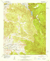
1953 · Cundiyo
USGS Topo · 1:24,000

1953 · Trampas
USGS Topo · 1:24,000

1953 · Chimayo
USGS Topo · 1:24,000

1954 · Santa Fe
USGS Topo · 1:250,000

1954 · Raton
USGS Topo · 1:250,000

1958 · Raton
USGS Topo · 1:250,000