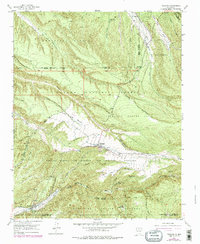
1953 Map of Truchas
USGS Topo · Published 1978About this map
Truchas and the high-altitude agricultural landscape of the Sangre de Cristo foothills are captured here during the mid-twentieth century. The complex system of Spanish land grants is visible through boundaries like the Nuestra Senora Del Rosario San Fernando Y Santiago and the Sebastian Martin grant. Settlements follow the life-giving waters of the Rio de Truchas and Rio Quemado, where narrow strips of cultivated land cling to the valley floors. In the southern portion of the map, the village of Cordova sits near the Rio Quemado, while the smaller communities of Vallecitos and Vallecitos de Abajo are positioned along the Cañada de en Medio. The landscape is etched with traditional water management features, including a persistent network of ditches that divert water to El Llano de Abeyta and other upland fields. This survey documents the transition into the Carson National Forest and Santa Fe National Forest, marked by the Borrego Ranger Cabin and various Jeep Trails used for forest management.
Find a feature on this map
36 named features on this map. Tap any name to fly to it.
Don’t see what you’re looking for? This feature index may not catch every label — zoom into the map to look around manually.
Map Details
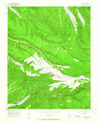
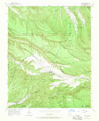
Editions of this 1953 Truchas Map
4 editions found
Other maps of this area

1889 · Santa Fe
USGS Topo · 1:125,000

1894 · Santa Fe
USGS Topo · 1:125,000

1953 · Truchas
USGS Topo · 1:24,000

1953 · Velarde
USGS Topo · 1:24,000

1953 · Sierra Mosca
USGS Topo · 1:24,000
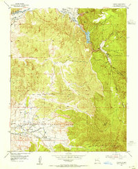
1953 · Cundiyo
USGS Topo · 1:24,000

1953 · Trampas
USGS Topo · 1:24,000

1953 · Chimayo
USGS Topo · 1:24,000

1954 · Santa Fe
USGS Topo · 1:250,000

1954 · Raton
USGS Topo · 1:250,000