Loading...
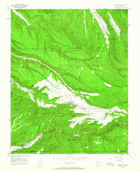
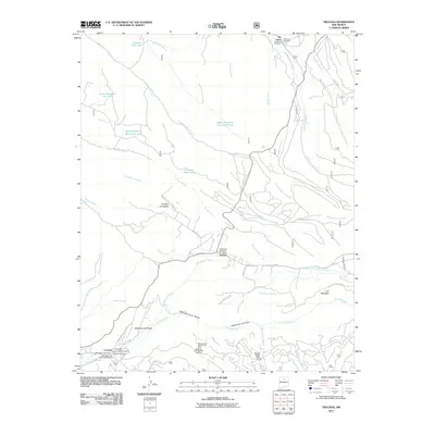
Loading map...1953 Map of Truchas
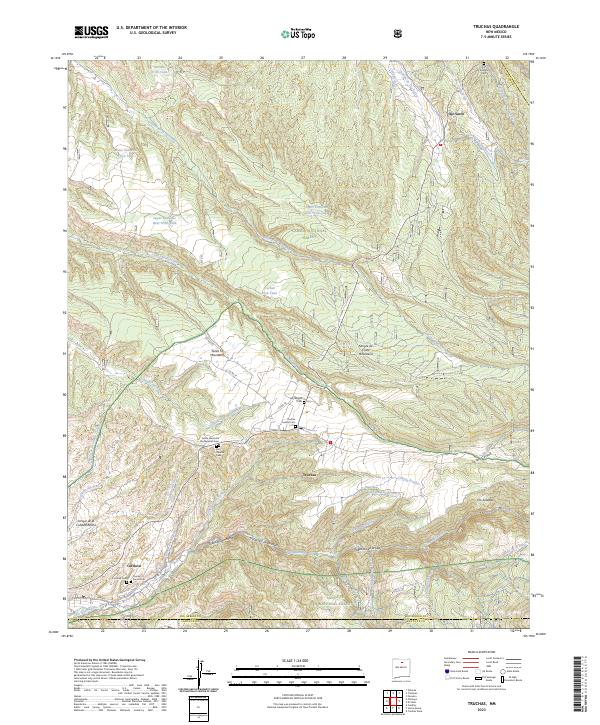
USGS Topo · Published 1963About this map
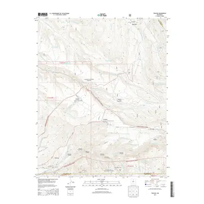
Truchas serves as a central hub in this high-altitude landscape where the Sangre de Cristo foothills meet significant land grants. The terrain is deeply carved by an intricate network of cañadas, such as Cañada de los Alamos and Cañada Honda, which dictate the placement of small agricultural settlements like El Llano de Abeyta and the string of villages including Vallecitos de Abajo and Vallecitos de Arriba.
Find a feature on this map
39 named features on this map. Tap any name to fly to it.
Don’t see what you’re looking for? This feature index may not catch every label — zoom into the map to look around manually.
Map Details
Date Portrayed1953
Date Published1963
PublisherU.S. Geological Survey
Map TypeTopographic
Scale1:24,000
Physical Dimensions22.1 x 27.1 inches
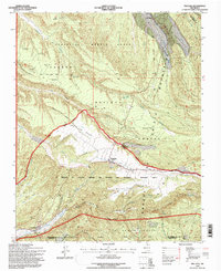
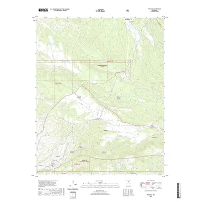
Editions of this 1953 Truchas Map
4 editions found

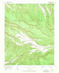
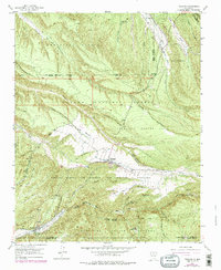
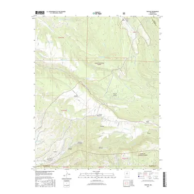
Historical Maps of Truchas Through Time
7 maps found
Featured Locations
Source Details
SourceU.S. Geological Survey
CopyrightPublic Domain