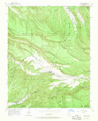
1953 Map of Truchas
USGS Topo · Published 1970About this map
The high mountain settlement of Truchas sits at the center of this 1950s survey, surrounded by a complex system of irrigation ditches and ancient land grants. The landscape is defined by the intersections of the Carson National Forest and Santa Fe National Forest, alongside the boundaries of the Las Sebastian Martin and Nuestra Senora Del Rosario San Fernando Y Santiago grants. To the south, the village of Cordova rests near the Rio Quemado, while the northern reaches include the community of Ojo Sarco and the timber-focused Forest Service Warehouse. Numerous traditional waterways, such as Cañada de Abeyta and Rio de Truchas, illustrate the historic reliance on seasonal drainage and man-made Ditch systems in this high-altitude environment. Researchers will find detailed markings for Vallecitos and the Borrego Ranger Cabin, reflecting a period of active forest management and established rural life.
Find a feature on this map
52 named features on this map. Tap any name to fly to it.
Don’t see what you’re looking for? This feature index may not catch every label — zoom into the map to look around manually.
Map Details
Editions of this 1953 Truchas Map
4 editions found
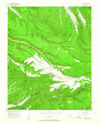
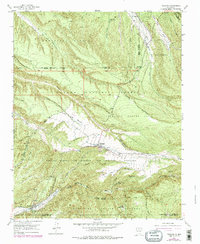
Other maps of this area

1889 · Santa Fe
USGS Topo · 1:125,000

1894 · Santa Fe
USGS Topo · 1:125,000

1953 · Truchas
USGS Topo · 1:24,000

1953 · Velarde
USGS Topo · 1:24,000

1953 · Sierra Mosca
USGS Topo · 1:24,000
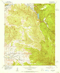
1953 · Cundiyo
USGS Topo · 1:24,000

1953 · Trampas
USGS Topo · 1:24,000

1953 · Chimayo
USGS Topo · 1:24,000

1954 · Santa Fe
USGS Topo · 1:250,000

1954 · Raton
USGS Topo · 1:250,000