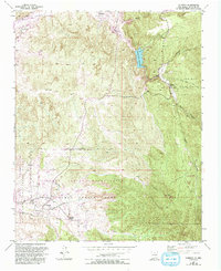
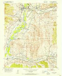
1953 Map of Cundiyo
USGS Topo · Published 1993About this map
The Santo Domingo de Cundiyo Grant and the Nambe Indian Reservation converge in this high-desert landscape, defined by a complex network of traditional land grants and tribal territories. This 1953 survey, later updated in 1993, captures the rural life of Northern New Mexico where small settlements like Cundiyo and Chimayo follow the narrow fertile corridors of the Santa Cruz River and its tributaries. The terrain is marked by significant hydrological features such as the Santa Cruz Reservoir and Arroyo Seco, illustrating the vital importance of water management in this arid region.
Find a feature on this map
34 named features on this map. Tap any name to fly to it.
Don’t see what you’re looking for? This feature index may not catch every label — zoom into the map to look around manually.
Map Details
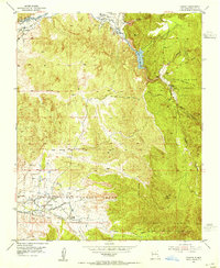
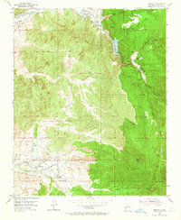
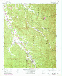
Editions of this 1953 Cundiyo Map
3 editions found
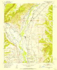
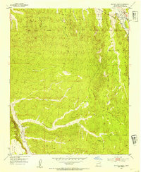
Other maps of this area

1889 · Santa Fe
USGS Topo · 1:125,000

1892 · Santa Clara
USGS Topo · 1:125,000

1894 · Santa Fe
USGS Topo · 1:125,000

1918 · Abiquiu
USGS Topo · 1:125,000
1953 · Tesuque
USGS Topo · 1:24,000
1953 · Espanola
USGS Topo · 1:24,000
1953 · San Juan Pueblo
USGS Topo · 1:24,000
1953 · Horcado Ranch
USGS Topo · 1:24,000

1953 · Truchas
USGS Topo · 1:24,000
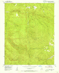
1953 · Sierra Mosca
USGS Topo · 1:24,000