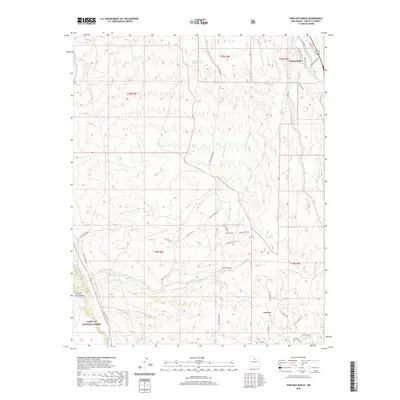
2020 Map of Horcado Ranch
USGS Topo · Published 2020About this map
Cuyamungue and the surrounding high desert terrain define this corner of Santa Fe County, where traditional water management systems like the Acequia Indios intersect with modern rural developments. The landscape is deeply carved by numerous drainages, including the Arroyo de San Antonio, Arroyo Jacona, and Arroyo Ancho, all feeding toward the Rio Tesuque corridor. The southwestern portion of the sheet transitions into the protected lands of the Santa Fe National Forest and the rising elevations of the Caja del Rio Plateau.
Find a feature on this map
42 named features on this map. Tap any name to fly to it.
Don’t see what you’re looking for? This feature index may not catch every label — zoom into the map to look around manually.
Map Details
Editions of this 2020 Horcado Ranch Map
This is the sole edition of this map. No revisions or reprints were ever made.
Other maps of this area

1889 · Santa Fe
USGS Topo · 1:125,000

1892 · Santa Clara
USGS Topo · 1:125,000

1894 · Santa Fe
USGS Topo · 1:125,000

1951 · Agua Fria
USGS Topo · 1:24,000

1952 · Santa Fe
USGS Topo · 1:24,000

1952 · White Rock
USGS Topo · 1:24,000

1952 · Puye
USGS Topo · 1:24,000

1952 · Montoso Peak
USGS Topo · 1:24,000

1953 · Tesuque
USGS Topo · 1:24,000

1953 · Espanola
USGS Topo · 1:24,000